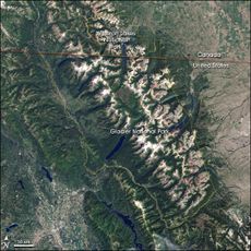
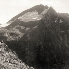
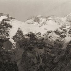
Carter Glaciers, Glacial formation in Glacier National Park, Montana, United States.
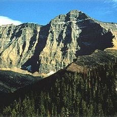
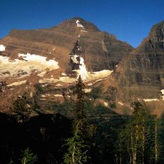
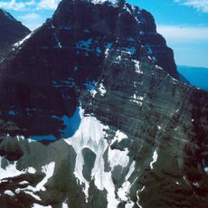
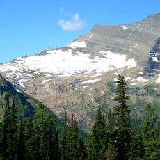
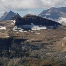
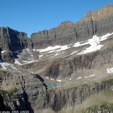
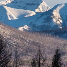
Carter Glaciers are remnants of ice situated along a ridge east of the Continental Divide at elevations between 7,200 and 8,500 feet. The formations consist of small patches of ice and compacted snow spread across the upper terrain of this mountain area.
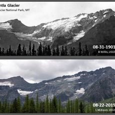
Around the time of the Little Ice Age, approximately 80 glaciers covered this region, but they began melting after 1850. What remains today is the result of more than a century of steady retreat from that peak.
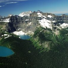
The Kootenai people called this region Ya·qawiswit̓xuki, reflecting how they understood the landscape through its ice formations. This name shows how glaciers were central to how people saw and described this place.
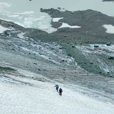
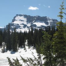
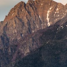
The best time to see them is in late August when winter snow has melted and the ice becomes clearly visible. Bring a map or use satellite imagery to help navigate to these remote formations in the mountains.
The meltwater feeds irrigation systems used by farmers in the surrounding valleys, while also supplying cold water streams that wildlife depends on. This hidden connection between the mountain ice and human activity below ground is what gives these small glaciers their real importance.
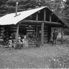
The community of curious travelers
AroundUs brings together thousands of curated places, local tips, and hidden gems, enriched daily by 60,000 contributors worldwide.