
Coaldale, town in Alberta
Location: Lethbridge County
Elevation above the sea: 863 m
Website: http://www.coaldale.ca
Shares border with: Glenwood
Website: http://coaldale.ca
GPS coordinates: 49.72778,-112.61833
Latest update: March 4, 2025 00:27
Head-Smashed-In Buffalo Jump
74.5 km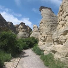
Writing-on-Stone Provincial Park
102.1 km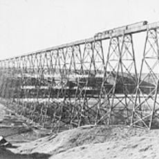
Lethbridge Viaduct
18.3 km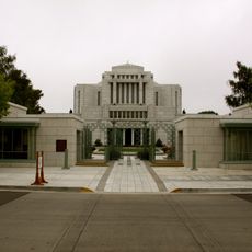
Cardston Alberta Temple
77.3 km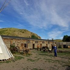
Fort Whoop-Up
17.6 km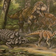
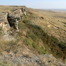
Oldman Formation
22.5 km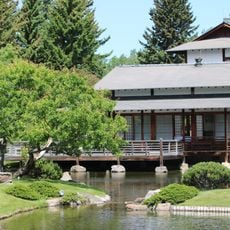
Nikka Yuko Japanese Garden
14.1 km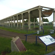
Brooks Aqueduct
104.5 km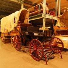
Remington Carriage Museum
77.4 km
Little Bow Provincial Park
60.2 km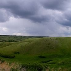
Oldman River valley parks system
17.8 km
Galt Museum & Archives
16.9 km
Neils Hogenson House
25.9 km
Heritage Acres Farm Museum
91.5 km
Waterton Biosphere Reserve
86.3 km
William T. Ogden House
26.5 km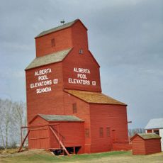
Scandia Eastern Irrigation District Museum
73.5 km
Michelsen Farmstead
25.4 km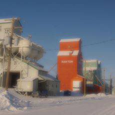
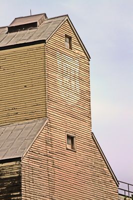
Canadian Grain Elevator Discovery Centre
107.2 km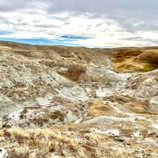
Devil's Coulee Dinosaur Heritage Museum
57.9 km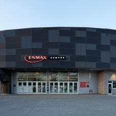
ENMAX Centre
15.1 km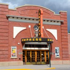
Empress Theatre
56.8 km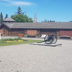
Fort Museum
56.8 km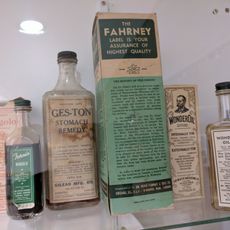
Gem of the West Museum
970 m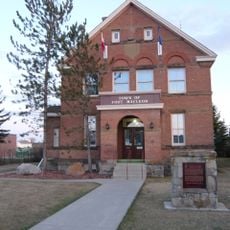
Territorial Court House
56.8 km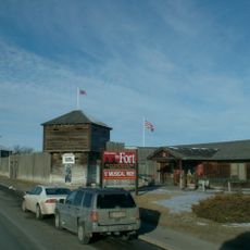
Fort Macleod
55.4 km
Waterton Reservoir
90.6 km
Scandia Alberta Wheat Pool Grain Elevator and Bow Slope Stockyard
73.5 kmReviews
Visited this place? Tap the stars to rate it and share your experience / photos with the community! Try now! You can cancel it anytime.
Discover hidden gems everywhere you go!
From secret cafés to breathtaking viewpoints, skip the crowded tourist spots and find places that match your style. Our app makes it easy with voice search, smart filtering, route optimization, and insider tips from travelers worldwide. Download now for the complete mobile experience.

A unique approach to discovering new places❞
— Le Figaro
All the places worth exploring❞
— France Info
A tailor-made excursion in just a few clicks❞
— 20 Minutes