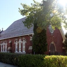
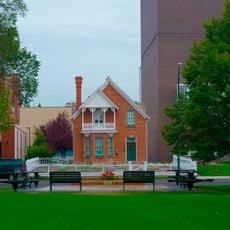
Southern Alberta, Geographic region in southern Alberta, Canada
Southern Alberta is a geographic region spanning prairie grasslands, badlands, and foothills in the southern part of the province. The area stretches between the Rocky Mountain slopes on the west and the Saskatchewan border on the east.
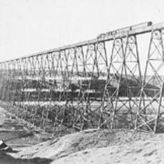
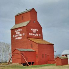
The region underwent major transformation after 1880 when irrigation systems made agriculture possible on the semi-arid land. This development led to widespread settlement and economic growth throughout the area.
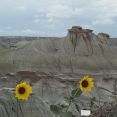
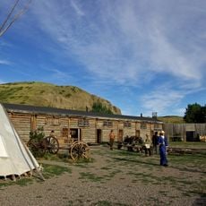
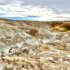
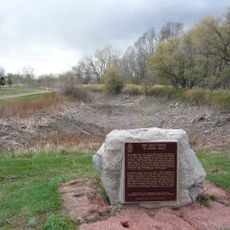
Indigenous peoples left their mark on this land through rock art found at Writing-on-Stone, where you can still see carvings that tell stories of those who lived here long ago. The Head-Smashed-In Buffalo Jump shows how hunting traditions shaped life in this region for thousands of years.
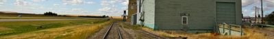
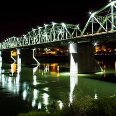
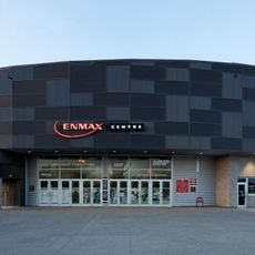
Lethbridge and Medicine Hat serve as the main service centers with Highway 3 running between them as the primary route through the region. Visitors should plan travel from these towns and be prepared for distances between smaller settlements.
The Milk River flows southward, making it the only river in Alberta that eventually reaches the Gulf of Mexico through the Missouri-Mississippi system. This unusual water route creates an unexpected connection to a distant ocean.
The community of curious travelers
AroundUs brings together thousands of curated places, local tips, and hidden gems, enriched daily by 60,000 contributors worldwide.