Enable Location

We need your location to show you interesting places around you

Discover nearby places

Find interesting locations and hidden gems around you

Precise directions

Get accurate directions and distances to places

Your location is never shared with other users. It's only used when you tap the location button.

Madison County

Log in to your account

Start exploring — it's free

Trusted by 61,768 travelers worldwide

Continue with Google
Continue with Apple
or

We will send you a code to connect

By continuing, you accept our Terms and Conditions and our Privacy Policy

Check your inbox

We've sent a pincode in your inbox. Please enter the code below.

Madison County

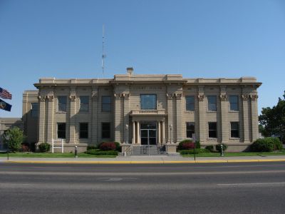
Madison County, County in Idaho, United States

Description

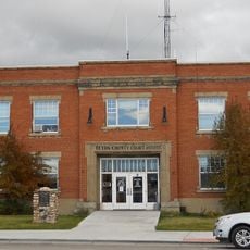
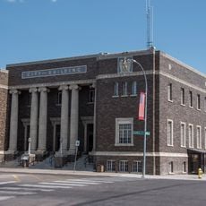
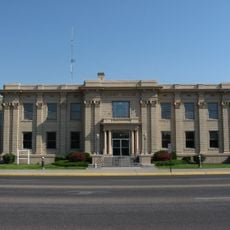
Madison County is a county in eastern Idaho covering approximately 473 square miles (1,225 square kilometers). Rexburg serves as the county seat and its largest community.

History

The county was established in February 1913 when it separated from Fremont County and was named after U.S. President James Madison. Following its creation, the area developed its own administrative structure and institutions to serve its growing population.

Culture

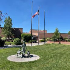
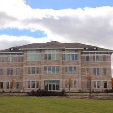
Brigham Young University-Idaho stands as a major educational institution in Madison County, shaping the regional educational landscape through its programs and facilities.

Practical

The area experiences a continental climate with cold winters and moderate summers, making late spring and early fall the best times to visit. Most services and attractions center around Rexburg, making it a convenient base for exploring the wider area.

Did you know?

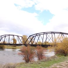
A major dam failure on the Teton River in June 1976 caused severe flooding throughout the area and resulted in a federal disaster declaration. This event significantly influenced how the region approaches infrastructure planning and emergency preparedness.

Location
Inception
February 18, 1913
Capital city
Rexburg
Shares border with
Fremont County, Bonneville County, Teton County, Jefferson County
GPS coordinates
43.79000,-111.66000
Latest update
December 14, 2025 20:26

AroundUs brings together thousands of curated places, local tips, and hidden gems, enriched daily by 60,000 contributors worldwide. Discover all places nearby (Idaho).

Around this place
Idaho Falls Idaho Temple
United States of America

Idaho Falls Idaho Temple

44.6 km
Pierre's Hole
United States of America

Pierre's Hole

45.1 km
Rexburg Idaho Temple
United States of America

Rexburg Idaho Temple

9.8 km
Camas National Wildlife Refuge
United States of America

Camas National Wildlife Refuge

50.6 km
Ririe Reservoir
United States of America

Ririe Reservoir

24.1 km
Museum of Idaho
United States of America

Museum of Idaho

45.2 km
Mountain America Center
United States of America

Mountain America Center

47.4 km
Spud Drive-In Theater
United States of America

Spud Drive-In Theater

45.8 km
Rexburg Stake Tabernacle
United States of America

Rexburg Stake Tabernacle

10.8 km
South Fremont High School
United States of America

South Fremont High School

20.7 km
Colonial Theatre
United States of America

Colonial Theatre

45.1 km
First Presbyterian Church
United States of America

First Presbyterian Church

45.1 km
Teton County Courthouse
United States of America

Teton County Courthouse

44.7 km
Idaho Falls Public Library
United States of America

Idaho Falls Public Library

45.1 km
St. Anthony Pegram Truss Railroad Bridge
United States of America

St. Anthony Pegram Truss Railroad Bridge

18.4 km
Ririe A Pegram Truss Railroad Bridge
United States of America

Ririe A Pegram Truss Railroad Bridge

15.1 km
Conant Creek Pegram Truss Railroad Bridge
United States of America

Conant Creek Pegram Truss Railroad Bridge

34.4 km
Jacob Spori Building
United States of America

Jacob Spori Building

10.3 km
Fremont County Courthouse
United States of America

Fremont County Courthouse

19.9 km
Bonneville County Courthouse
United States of America

Bonneville County Courthouse

44.9 km
Independent Order of Odd Fellows Hall
United States of America

Independent Order of Odd Fellows Hall

35 km
Idaho Falls City Building
United States of America

Idaho Falls City Building

44.8 km
Jefferson County Courthouse
United States of America

Jefferson County Courthouse

24 km
I.O.O.F. Building
United States of America

I.O.O.F. Building

32.5 km
Madison County Courthouse
United States of America

Madison County Courthouse

10.2 km
Legacy Flight Museum
United States of America

Legacy Flight Museum

12.8 km
Iona Meetinghouse
United States of America

Iona Meetinghouse

36.2 km
St. Anthony Sand Dunes
United States of America

St. Anthony Sand Dunes

27 km
Show the full map
Administrative divisions
« Madison County - County in Idaho, United States » is provided by Around Us (aroundus.com). Images and texts are derived from Wikimedia project under a Creative Commons license. You are allowed to copy, distribute, and modify copies of this page, under the conditions set by the license, as long as this note is clearly visible.

Discover hidden gems everywhere you go!

From secret cafés to breathtaking viewpoints, skip the crowded tourist spots and find places that match your style. Our app makes it easy with voice search, smart filtering, route optimization, and insider tips from travelers worldwide. Download now for the complete mobile experience.

Around Us App Screenshot

A unique approach to discovering new places

Le Figaro

All the places worth exploring

France Info

A tailor-made excursion in just a few clicks

20 Minutes

Around Us
Travel Guide & Maps
Download

Send to your phone

QR Code
1

Open the camera app on your mobile.

2

Point at the QR code with your camera. A notification will appear.

3

Tap the notification to open the link.