
Johnson County, County administrative division in Wyoming, United States.
Johnson County spans 4,175 square miles in north central Wyoming, with the Bighorn Mountains forming its northwestern boundary along Interstate 25 and 90.
The territory was established as Pease County in 1875, then renamed Johnson County in 1879 after Cheyenne attorney E. P. Johnson.
The county's population maintains strong agricultural traditions, with numerous ranches and farms contributing to Wyoming's rural heritage.
The Johnson County Planning Department, located at 26 N DeSmet Ave in Buffalo, manages land development, rural addressing systems, and wastewater permits.
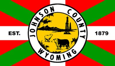
The county flag design incorporates elements of the Basque ikurriña, reflecting the substantial Basque population that settled in the region.
Location: Wyoming
Inception: 1881
Capital city: Buffalo
Shares border with: Sheridan County, Campbell County, Converse County, Natrona County, Washakie County, Big Horn County
Website: http://johnsoncountywyoming.org
GPS coordinates: 44.04000,-106.59000
Latest update: May 27, 2025 10:08
Fort Phil Kearny
57.9 km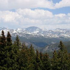
Cloud Peak
60.2 km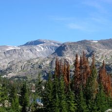
Bomber Mountain
58.3 km
Cloud Peak Wilderness
63.1 km
Black Tooth Mountain
62 km
Jim Gatchell Memorial Museum
35.4 km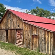
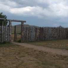
TA Ranch Historic District
14.3 km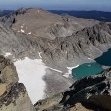
Cloud Peak Glacier
60.1 km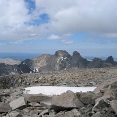
Mount Woolsey
61.7 km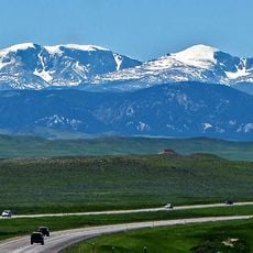
Bighorn Peak
47.7 km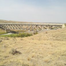
AJX Bridge over South Fork and Powder River
46.7 km
Holland House
35.7 km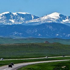
Darton Peak
49.1 km
EDZ Irigary Bridge
36.4 km
Union Congregational Church and Parsonage
35 km
Main Street Historic District
35.2 km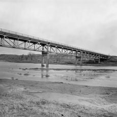
CKW Bridge over Powder River
82.4 km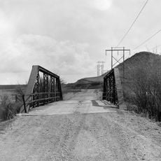
EDL Peloux Bridge
36.3 km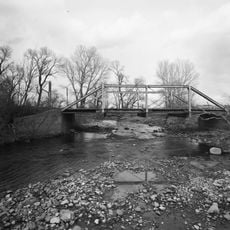
ECS Bridge over Big Goose Creek
89.2 km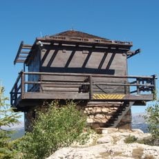
James T. Saban Lookout
50.4 km
EJP County Line Bridge
88.6 km
EAU Arvada Bridge
78.1 km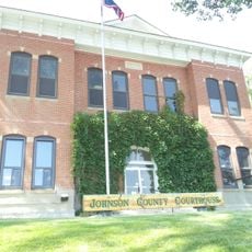
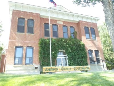
Johnson County Courthouse
35.3 km
Ainsworth House
64.1 km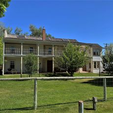
Odd Fellows Hall
78 km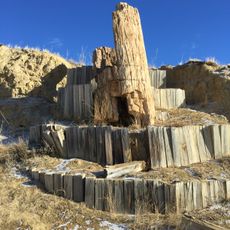
Dry Creek Petrified Tree Environmental Education Area
35 km
Tyrrel Ranger Station
55.4 km
Tensleep Ranger Station
55.4 kmReviews
Visited this place? Tap the stars to rate it and share your experience / photos with the community! Try now! You can cancel it anytime.
Discover hidden gems everywhere you go!
From secret cafés to breathtaking viewpoints, skip the crowded tourist spots and find places that match your style. Our app makes it easy with voice search, smart filtering, route optimization, and insider tips from travelers worldwide. Download now for the complete mobile experience.

A unique approach to discovering new places❞
— Le Figaro
All the places worth exploring❞
— France Info
A tailor-made excursion in just a few clicks❞
— 20 Minutes