Enable Location

We need your location to show you interesting places around you

Discover nearby places

Find interesting locations and hidden gems around you

Precise directions

Get accurate directions and distances to places

Your location is never shared with other users. It's only used when you tap the location button.

Musselshell County

Log in to your account

Start exploring — it's free

Trusted by 61,438 travelers worldwide

Continue with Google
Continue with Apple
or

We will send you a code to connect

By continuing, you accept our Terms and Conditions and our Privacy Policy

Check your inbox

We've sent a pincode in your inbox. Please enter the code below.

Musselshell County, County in Montana, United States

Description

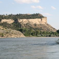
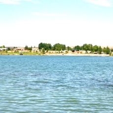
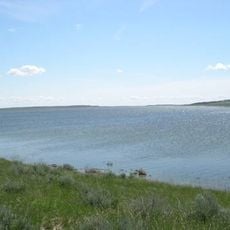
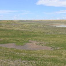
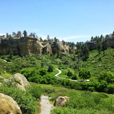
Musselshell County is a region in south-central Montana characterized by rolling grasslands and the Bull Mountains rising in the southeastern section. The Musselshell River flows through the landscape, shaping the terrain.

History

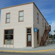
The county was created in 1911 from portions of three neighboring counties. Its development followed the arrival of ranching and mining industries in the region.

Culture

The Signal Peak Mine continues the region's coal mining heritage, employing 300 workers and maintaining the community's connection to natural resource industries.

Practical

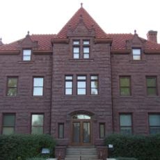
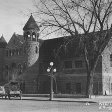
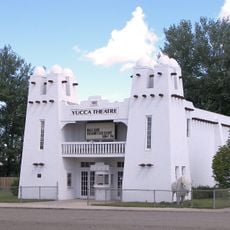
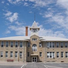
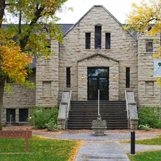
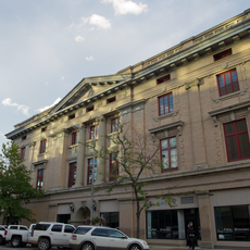
Roundup serves as the administrative center where most services are located. Exploring the area works best by car, as communities are spread across open terrain.

Did you know?

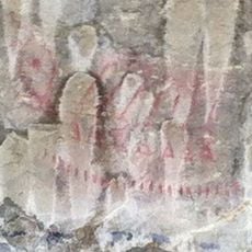
The Musselshell River got its name in 1805 when Lewis and Clark discovered numerous freshwater mussels along its banks. This discovery connected the territory's identity to early exploration.

Location
Inception
1911
Capital city
Roundup
Shares border with
Petroleum County, Yellowstone County, Rosebud County, Fergus County, Golden Valley County
GPS coordinates
46.49000,-108.40000
Latest update
December 10, 2025 16:02

AroundUs brings together thousands of curated places, local tips, and hidden gems, enriched daily by 60,000 contributors worldwide. Discover all places nearby (Montana).

Around this place
Lewis and Clark National Historic Trail
United States of America

Lewis and Clark National Historic Trail

61.9 km
Pictograph Cave
United States of America

Pictograph Cave

83 km
First Interstate Center
United States of America

First Interstate Center

79.1 km
Rimrocks
United States of America

Rimrocks

77.8 km
Moss Mansion
United States of America

Moss Mansion

79.6 km
ZooMontana
United States of America

ZooMontana

86.1 km
Rimrock Auto Arena at MetraPark
United States of America

Rimrock Auto Arena at MetraPark

77 km
Lake Elmo State Park
United States of America

Lake Elmo State Park

72.7 km
Western Heritage Center
United States of America

Western Heritage Center

79.4 km
War Horse National Wildlife Refuge
United States of America

War Horse National Wildlife Refuge

46.8 km
St. Patrick's Co-Cathedral
United States of America

St. Patrick's Co-Cathedral

79.3 km
Alberta Bair Theater
United States of America

Alberta Bair Theater

79.1 km
Hailstone National Wildlife Refuge
United States of America

Hailstone National Wildlife Refuge

80.6 km
Yucca Theatre
United States of America

Yucca Theatre

92.2 km
Pictograph Cave State Park
United States of America

Pictograph Cave State Park

83.8 km
Roundup Central School
United States of America

Roundup Central School

12 km
Lavina State Bank
United States of America

Lavina State Bank

46.7 km
The Reef
United States of America

The Reef

85.5 km
St. Benedict's Catholic School
United States of America

St. Benedict's Catholic School

12 km
Prescott Commons
United States of America

Prescott Commons

77.9 km
Masonic Temple
United States of America

Masonic Temple

79.1 km
Cat Creek Oil Field Sign
United States of America

Cat Creek Oil Field Sign

64.9 km
Austin North House
United States of America

Austin North House

78.8 km
Billings Chamber of Commerce Building
United States of America

Billings Chamber of Commerce Building

78.9 km
Moss Mansion Museum
United States of America

Moss Mansion Museum

79.6 km
Babcock Theatre
United States of America

Babcock Theatre

79.2 km
Yellowstone Kelly Interpretive Site
United States of America

Yellowstone Kelly Interpretive Site

77.3 km
Saint Patrick Co-Cathedral (Billings, Montana)
United States of America

Saint Patrick Co-Cathedral (Billings, Montana)

79.3 km
Show the full map
« Musselshell County - County in Montana, United States » is provided by Around Us (aroundus.com). Images and texts are derived from Wikimedia project under a Creative Commons license. You are allowed to copy, distribute, and modify copies of this page, under the conditions set by the license, as long as this note is clearly visible.

Discover hidden gems everywhere you go!

From secret cafés to breathtaking viewpoints, skip the crowded tourist spots and find places that match your style. Our app makes it easy with voice search, smart filtering, route optimization, and insider tips from travelers worldwide. Download now for the complete mobile experience.

Around Us App Screenshot

A unique approach to discovering new places

Le Figaro

All the places worth exploring

France Info

A tailor-made excursion in just a few clicks

20 Minutes

Around Us
Travel Guide & Maps
Download

Send to your phone

QR Code
1

Open the camera app on your mobile.

2

Point at the QR code with your camera. A notification will appear.

3

Tap the notification to open the link.