Chest opened
+${chestReward.xp} XP
Explorer
NOUVEAU ×${chestReward.collectible.quantity}
tapez pour fermer
Chest locked

Open chests in the app

Around Us is built for your phone — chests unlock when you walk, explore and capture nearby places.

Enable Location

We need your location to show you interesting places around you

Discover nearby places

Find interesting locations and hidden gems around you

Precise directions

Get accurate directions and distances to places

Your location is never shared with other users. It's only used when you tap the location button.

Log in to your account

Start exploring — it's free

Trusted by 72,990 travelers worldwide

Continue with Google
Continue with Apple
or

We will send you a code to connect

By continuing, you accept our Terms and Conditions and our Privacy Policy

Check your inbox

We've sent a pincode in your inbox. Please enter the code below.

Black Hills meridian
Discussion Reviews Photo
1.4k Popularity

Black Hills meridian, Principal meridian in South Dakota, United States.

The Black Hills meridian is a principal meridian running through western South Dakota at approximately 104°03' west longitude and serves as a reference line for surveying land in the region. It divides the territory into systematic sections that help establish property boundaries.

The meridian was established to improve land surveying in western South Dakota when existing systems from the 5th and 6th Principal Meridians could not keep pace with growing settlement demands. Its creation marked an important step in systematically mapping and opening the region for development.

The meridian intersects territories that hold significance for multiple Native American tribes, including areas north and west of the White River.

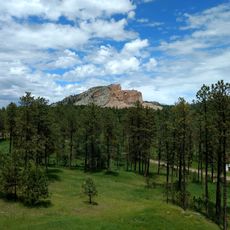
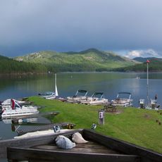
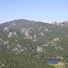
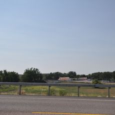
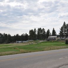
The meridian line is used primarily by surveyors and property assessors as a reference point and is located in a sparsely settled, rural region. To understand its location in the landscape, it helps to bring maps or a smartphone navigation app.

The starting point of this meridian line sits at the Wyoming-South Dakota border and is marked by a Mile Post 69. Specific bearing trees were established at this border location to help future surveyors verify the exact position.

The community of curious travelers

AroundUs brings together thousands of curated places, local tips, and hidden gems, enriched daily by 60,000 contributors worldwide.

Start exploring
Location
GPS coordinates
43.99560,-104.05400
Latest update
December 14, 2025 16:46
Around this place
Crazy Horse Memorial
United States of America

Crazy Horse Memorial

38.8 km
Needles
United States of America

Needles

44.2 km
Black Elk Peak
United States of America

Black Elk Peak

44.3 km
United States of America

Deep Underground Science and Engineering Laboratory

46.2 km
Pactola Lake
United States of America

Pactola Lake

45.7 km
Inyan Kara Mountain
United States of America

Inyan Kara Mountain

33.9 km
Black Hills Institute of Geological Research, Inc.
United States of America

Black Hills Institute of Geological Research, Inc.

39 km
Sheridan Lake
United States of America

Sheridan Lake

48.3 km
Black Elk Wilderness
United States of America

Black Elk Wilderness

44.8 km
Pactola Dam
United States of America

Pactola Dam

46.2 km
Crazy Horse Memorial
United States of America

Crazy Horse Memorial

38.7 km
Roughlock Falls Nature Area
United States of America

Roughlock Falls Nature Area

40.4 km
1881 Courthouse Museum
United States of America

1881 Courthouse Museum

44.4 km
Jenney Stockade Site
United States of America

Jenney Stockade Site

21.2 km
Old Finnish Lutheran Church
United States of America

Old Finnish Lutheran Church

46 km
St. Lawrence O'Toole Catholic Church
United States of America

St. Lawrence O'Toole Catholic Church

47.5 km
Wyoming Army National Guard Cavalry Stable
United States of America

Wyoming Army National Guard Cavalry Stable

19.7 km
Weston County Courthouse
United States of America

Weston County Courthouse

19.4 km
Tomahawk Lake Country Club
United States of America

Tomahawk Lake Country Club

44.1 km
Jewel Cave
United States of America

Jewel Cave

34.7 km
Garlock Building
United States of America

Garlock Building

44.4 km
Custer County Courthouse
United States of America

Custer County Courthouse

44.4 km
Jewel Cave Ranger Station
United States of America

Jewel Cave Ranger Station

33.8 km
Black Elk Peak Lookout Tower
United States of America

Black Elk Peak Lookout Tower

44.3 km
Sunday Gulch Trail
United States of America

Sunday Gulch Trail

42.1 km
Historic Trail and Cave Entrance
United States of America

Historic Trail and Cave Entrance

33.9 km
Civilian Conservation Corps Museum
United States of America

Civilian Conservation Corps Museum

40 km
Dogie Theater
United States of America

Dogie Theater

19.7 km
Show the full map
Reviews
Share your experience

No review yet

Discussions
Start a discussion...

No discussion yet

« Black Hills meridian - Principal meridian in South Dakota, United States » is provided by Around Us (aroundus.com). Images and texts are derived from Wikimedia project under a Creative Commons license. You are allowed to copy, distribute, and modify copies of this page, under the conditions set by the license, as long as this note is clearly visible.

Discover hidden gems everywhere you go!

From secret cafés to breathtaking viewpoints, skip the crowded tourist spots and find places that match your style. Our app makes it easy with voice search, smart filtering, route optimization, and insider tips from travelers worldwide. Download now for the complete mobile experience.

Around Us App Screenshot

A unique approach to discovering new places

Le Figaro

All the places worth exploring

France Info

A tailor-made excursion in just a few clicks

20 Minutes

Around Us
Travel Guide & Maps
Download

Send to your phone

QR Code
1

Open the camera app on your mobile.

2

Point at the QR code with your camera. A notification will appear.

3

Tap the notification to open the link.