Enable Location

We need your location to show you interesting places around you

Discover nearby places

Find interesting locations and hidden gems around you

Precise directions

Get accurate directions and distances to places

Your location is never shared with other users. It's only used when you tap the location button.

Phillips County

Log in to your account

Start exploring — it's free

Trusted by 61,433 travelers worldwide

Continue with Google
Continue with Apple
or

We will send you a code to connect

By continuing, you accept our Terms and Conditions and our Privacy Policy

Check your inbox

We've sent a pincode in your inbox. Please enter the code below.

Phillips County, Administrative county in northern Montana, United States.

Description

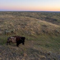
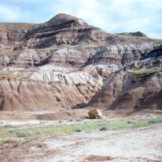
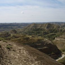
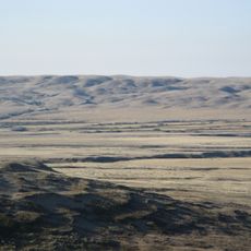
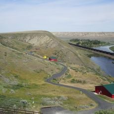
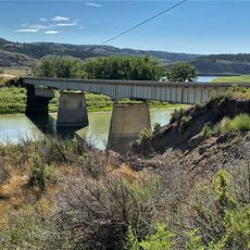
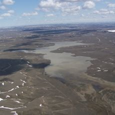
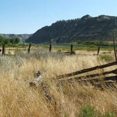
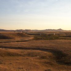
Phillips County is an administrative division in northern Montana bordering Canada, with the Missouri River running along its southern edge. The landscape consists of open grasslands dotted with small towns and farming communities.

History

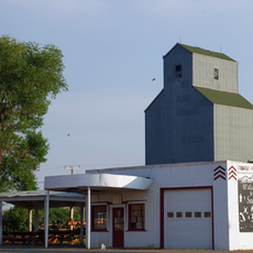
The county was established in 1915 from Blaine County and named after Benjamin D. Phillips, a rancher who served in the Montana state senate. Early growth centered on cattle ranching and later grain farming.

Culture

The annual Phillips County Fair brings together local farmers, artisans, and residents to display agricultural products and community achievements.

Practical

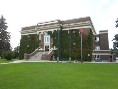
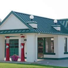
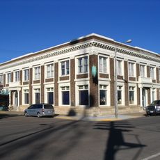
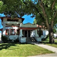
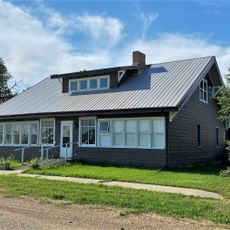
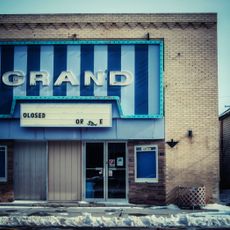
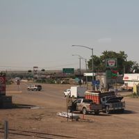
Malta, the county seat, is the main service center offering gas stations and restaurants for travelers. The best time to visit is during warmer months from May through September.

Did you know?

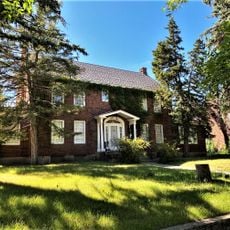
Many residents trace their ancestry to Norwegian and German immigrants who arrived in the early 1900s. This heritage remains visible today in local family names and community traditions.

Location
Inception
1915
Capital city
Malta
Shares border with
Blaine County, Valley County, Garfield County, Petroleum County, Fergus County
GPS coordinates
48.26000,-107.92000
Latest update
December 10, 2025 15:52

AroundUs brings together thousands of curated places, local tips, and hidden gems, enriched daily by 60,000 contributors worldwide. Discover all places nearby (Montana).

Around this place
Grasslands National Park
Canada

Grasslands National Park

103.6 km
American Prairie Reserve
United States of America

American Prairie Reserve

47.9 km
Fort Peck Lake
United States of America

Fort Peck Lake

107.6 km
Bearpaw Shale
Canada

Bearpaw Shale

117.1 km
United States of America

Charles M. Russell National Wildlife Refuge

84.5 km
Hell Creek Recreational Area
United States of America

Hell Creek Recreational Area

105.4 km
Frenchman River
Canada

Frenchman River

124 km
Too Close For Comfort Site
United States of America

Too Close For Comfort Site

136.8 km
Fred Robinson Bridge
United States of America

Fred Robinson Bridge

90.3 km
UL Bend National Wildlife Refuge
United States of America

UL Bend National Wildlife Refuge

73.5 km
Hewitt Lake National Wildlife Refuge
United States of America

Hewitt Lake National Wildlife Refuge

38.2 km
Great Plains Dinosaur Museum and Field Station
United States of America

Great Plains Dinosaur Museum and Field Station

11.8 km
Skyland Camp-Bowman Lake Ranger Station
United States of America

Skyland Camp-Bowman Lake Ranger Station

66.8 km
Havre Residential Historic District
United States of America

Havre Residential Historic District

133.7 km
Dave's Texaco
United States of America

Dave's Texaco

103.7 km
H. Earl Clack Service Station
United States of America

H. Earl Clack Service Station

47.9 km
H. Earl Clack House
United States of America

H. Earl Clack House

134 km
First National Bank of Glasgow
United States of America

First National Bank of Glasgow

95.6 km
Young–Almas House
United States of America

Young–Almas House

134.9 km
Phillips County Carnegie Library
United States of America

Phillips County Carnegie Library

11.6 km
Carnegie Public Library
United States of America

Carnegie Public Library

133.7 km
Fort Peck Original Houses Historic District
United States of America

Fort Peck Original Houses Historic District

112.9 km
Ervin Homestead-Gist Bottom Historic District
United States of America

Ervin Homestead-Gist Bottom Historic District

95.7 km
Charles C. Sargent House
United States of America

Charles C. Sargent House

117 km
Havre Beneath the Streets
United States of America

Havre Beneath the Streets

134 km
Fort Peck Interpretive Center
United States of America

Fort Peck Interpretive Center

114.8 km
Grand Theater
United States of America

Grand Theater

70.7 km
Chief Joseph Battleground of the Bear's Paw
United States of America

Chief Joseph Battleground of the Bear's Paw

96.2 km
Show the full map
Administrative divisions
« Phillips County - Administrative county in northern Montana, United States » is provided by Around Us (aroundus.com). Images and texts are derived from Wikimedia project under a Creative Commons license. You are allowed to copy, distribute, and modify copies of this page, under the conditions set by the license, as long as this note is clearly visible.

Discover hidden gems everywhere you go!

From secret cafés to breathtaking viewpoints, skip the crowded tourist spots and find places that match your style. Our app makes it easy with voice search, smart filtering, route optimization, and insider tips from travelers worldwide. Download now for the complete mobile experience.

Around Us App Screenshot

A unique approach to discovering new places

Le Figaro

All the places worth exploring

France Info

A tailor-made excursion in just a few clicks

20 Minutes

Around Us
Travel Guide & Maps
Download

Send to your phone

QR Code
1

Open the camera app on your mobile.

2

Point at the QR code with your camera. A notification will appear.

3

Tap the notification to open the link.