Black Coulee National Wildlife Refuge
Black Coulee National Wildlife Refuge, Wildlife refuge in Blaine County, Montana, United States.
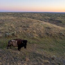
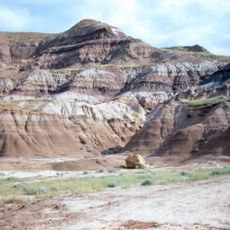
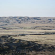
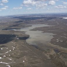
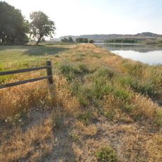
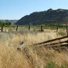
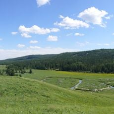
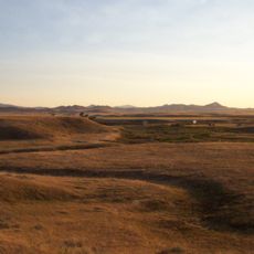
Black Coulee National Wildlife Refuge is a protected area containing wetlands and grasslands in north-central Montana near the Canadian border. The landscape comprises roughly 1,300 acres shaped by glacial activity in a natural basin.
The refuge was established in 1938 to protect water supplies and create nesting grounds for migratory birds. This creation emerged from broader conservation initiatives of that era.
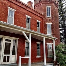
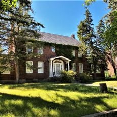
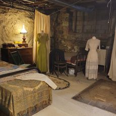
The Anna Scherlie Homestead Shack from 1913 remains visible within the refuge, showing how settlers lived in early 20th-century Montana. This structure connects visitors to the people who shaped this land a century ago.
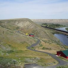
Visitors should park at the entrance gate since motor vehicles are not permitted inside the refuge. Walking through the area provides the best way to explore the trails and observe the landscape.
The natural basin in the glacially carved valley experiences seasonal water level changes that attract many duck species during spring migration. These fluctuations also include extended dry periods that reshape the habitat over time.
Location: Montana
Inception: 1938
Operator: US Fish and Wildlife Service
Website: https://fws.gov/refuge/black_coulee
GPS coordinates: 48.68610,-108.42100
Latest update: December 14, 2025 13:05
Grasslands National Park
84.3 km
American Prairie Reserve
106.1 km
Bearpaw Shale
93.3 kmCharles M. Russell National Wildlife Refuge
144.6 km
Fort Assinniboine
103.2 km
T.rex Discovery Centre
97.7 km
Frenchman River
84.5 km
Eye of the Needle
149 km
Too Close For Comfort Site
96.2 km
Fred Robinson Bridge
119.1 km
UL Bend National Wildlife Refuge
126.6 km
Hewitt Lake National Wildlife Refuge
61.9 km
Great Plains Dinosaur Museum and Field Station
54.6 km
Skyland Camp-Bowman Lake Ranger Station
22.8 km
Havre Residential Historic District
93.7 km
Judith Landing Historic District
138.4 km
H. Earl Clack House
93.9 km
First National Bank of Glasgow
142.8 km
Young–Almas House
92.9 km
Phillips County Carnegie Library
54.2 km
Carnegie Public Library
93.6 km
Ervin Homestead-Gist Bottom Historic District
107.4 km
Havre Beneath the Streets
93.7 km
Cypress Hills massacre site
143.8 km
Grand Theater
32 km
El Cor Del Lanes
139.7 km
Chief Joseph Battleground of the Bear's Paw
67.3 km
Wallace Stegner House
97 kmVisited this place? Tap the stars to rate it and share your experience / photos with the community! Try now! You can cancel it anytime.
Discover hidden gems everywhere you go!
From secret cafés to breathtaking viewpoints, skip the crowded tourist spots and find places that match your style. Our app makes it easy with voice search, smart filtering, route optimization, and insider tips from travelers worldwide. Download now for the complete mobile experience.
A unique approach to discovering new places❞
— Le Figaro
All the places worth exploring❞
— France Info
A tailor-made excursion in just a few clicks❞
— 20 Minutes