Daniels County, Administrative county in northeastern Montana, United States.
Description
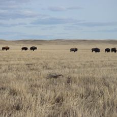
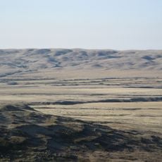
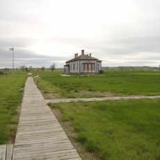
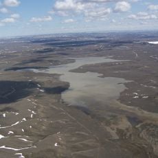
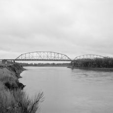
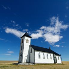
Daniels County is an administrative county in northeastern Montana that spans broad plains crossed by the Poplar River. The landscape consists of grassland, farmland, and scattered homesteads that together form the typical terrain of the Great Plains.
History
The area was created in 1920 by the Montana Legislature and takes its name from local rancher Mansfield Daniels. Its formation came from dividing land previously belonging to neighboring counties to better serve the developing region.
Culture
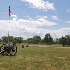
Farming and ranching form the backbone of life here, shaping how people work the land and organize their communities. You will see this rural identity reflected in the scattered homesteads and working landscapes throughout the region.
Practical
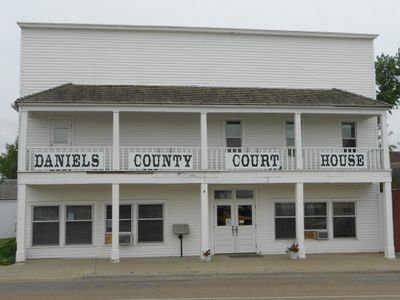
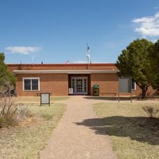
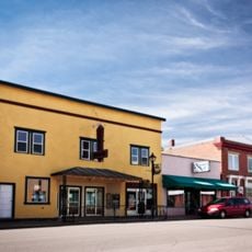
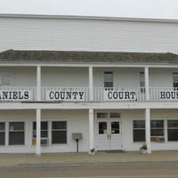
Montana Highway 5 and Montana Highway 13 pass through the area and connect communities with services in Scobey, the county seat. Visitors should be prepared for long distances between towns and bring supplies when traveling through the countryside.
Did you know?
A large portion of the county is publicly owned state land, giving the area a distinctive land management pattern. This public ownership affects how the landscape is used and accessed across significant sections of the region.
AroundUs brings together thousands of curated places, local tips, and hidden gems, enriched daily by 60,000 contributors worldwide. Discover all places nearby (Montana).
Interior Plains
88.6 km
Grasslands National Park
148.7 km
Fort Peck Lake
139.8 km
Fort Buford
145.3 km
Claybank Brick Plant
142.1 km
Montana Cowboy Hall of Fame
78.2 km
Snowden Bridge
138.9 km
Our Lady of Assumption Co-Cathedral
140.9 km
Hewitt Lake National Wildlife Refuge
154.2 km
Missouri-Yellowstone Confluence Interpretive Center
146.1 km
Fairview Lift Bridge
151.4 km
Ambrose–Torquay Border Crossing
152.8 km
Trossachs
134.8 km
Lewis and Clark Bridge
80.5 km
Alkabo School
122.2 km
Rocky Valley Lutheran Church
85.7 km
Daniels County Courthouse
9.5 km
H. Earl Clack Service Station
137.1 km
Gravelbourg Ecclesiastical Buildings
140.9 km
Peoples' Congregational Church
158 km
First National Bank of Glasgow
103.9 km
Fort Peck Original Houses Historic District
109.1 km
Charles C. Sargent House
94.3 km
Fort Union Trading Post National Historic Site
142.1 km
Fort Buford State Historic Site
145.3 km
Fort Peck Interpretive Center
108.1 km
Gaiety Theatre
141.3 km
St. Elizabeth Mission
152.6 kmDiscover hidden gems everywhere you go!
From secret cafés to breathtaking viewpoints, skip the crowded tourist spots and find places that match your style. Our app makes it easy with voice search, smart filtering, route optimization, and insider tips from travelers worldwide. Download now for the complete mobile experience.
A unique approach to discovering new places❞
— Le Figaro
All the places worth exploring❞
— France Info
A tailor-made excursion in just a few clicks❞
— 20 Minutes