Dawson County, County in eastern Montana, United States.
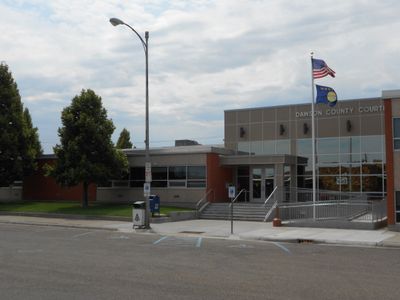
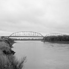
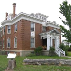
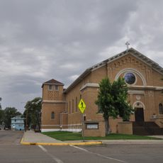
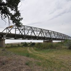
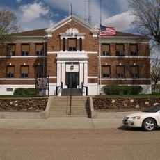
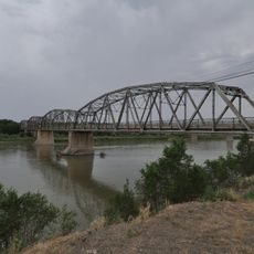
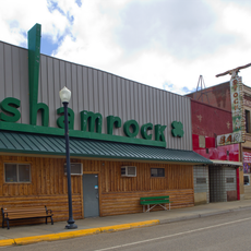
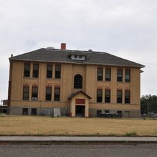
Dawson County is an administrative division in eastern Montana, shaped by open prairie, rolling hills, and the broad valley of the Yellowstone River. Glendive, the county seat, sits at the heart of the area and serves as its main urban center.
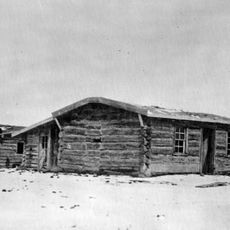
The county was established in 1865 and named after Colonel William C. Dawson, a rancher and politician active in the early settlement of the region. The arrival of the Northern Pacific Railway in the 1880s brought a wave of new settlers and turned Glendive into a regional hub.
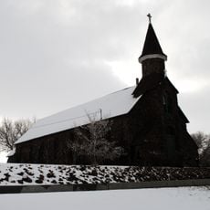
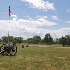
Around Glendive, rodeos, county fairs, and harvest events mark the rhythm of the year for people living in the area. Driving through the small towns, it is easy to see how closely daily life is tied to ranching and farming.
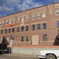
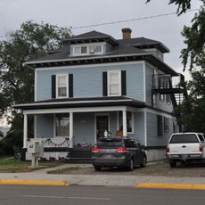
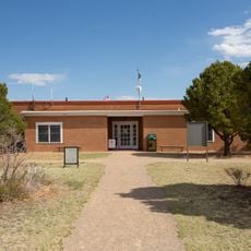
Glendive is the best base for exploring the county, as it offers the most services and places to stay in the area. Those heading further into the countryside should keep in mind that distances between towns are long and a personal vehicle is essential.
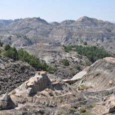
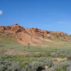
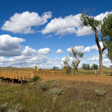
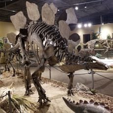
The Hell Creek Formation, which runs through parts of the county, has produced some of the best preserved dinosaur bones found anywhere in the world, including Triceratops and Tyrannosaurus rex remains. Makoshika State Park, just outside Glendive, gives visitors a chance to walk through this raw badlands terrain where many of those fossils were uncovered.
The community of curious travelers
AroundUs brings together thousands of curated places, local tips, and hidden gems, enriched daily by 60,000 contributors worldwide.