Atlin Lake, Natural lake in northern British Columbia and Yukon, Canada
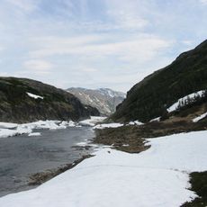
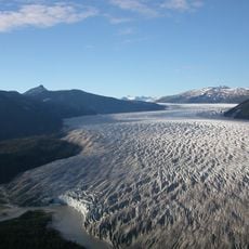
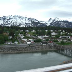
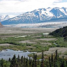
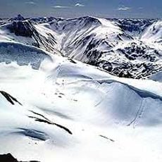
Atlin Lake is a long, narrow natural lake 137 kilometres long and 6.44 kilometres wide, lying mostly in British Columbia's Atlin District, with only its northern tip in Yukon. Its southern end falls within Atlin Provincial Park and Recreation Area, and the community of Atlin sits on the eastern shore.
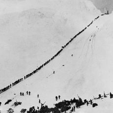
During the Klondike Gold Rush, this lake was a vital transportation route for miners heading to rich gold-bearing areas through connected waterways. It served as a key part of the mining network that developed across the region.
The lake's name derives from the Tlingit Áa Tlein (Canadian spelling  Tłèn), meaning "big lake"; the Tlingit First Nation of the region gave the name. The community of Atlin on the eastern shore keeps that name today.
Atlin Lake lies at 731 m above sea level and freezes over from December to June, so open-water access is limited to the warmer months. The community of Atlin sits on the eastern shore, and the southern part of the lake falls within Atlin Provincial Park and Recreation Area. The lake is long and narrow, with only its northern tip in the Yukon.
Atlin Lake is generally considered the source of the Yukon River, yet its outflow first runs through the short Atlin River into Tagish Lake. The lake's surface lies at 731 metres above sea level and can fluctuate by up to two metres. It freezes over from December to June.
The community of curious travelers
AroundUs brings together thousands of curated places, local tips, and hidden gems, enriched daily by 92,634 contributors worldwide.