
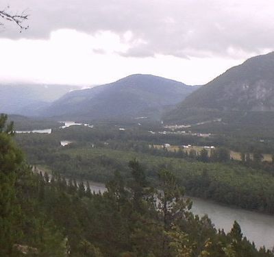
Thornhill, human settlement in British Columbia, Canada
Location: British Columbia
Location: Regional District of Kitimat-Stikine
GPS coordinates: 54.51220,-128.53800
Latest update: March 10, 2025 16:47
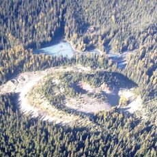
Tseax Cone
70.5 km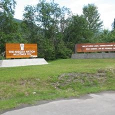
Anhluut'ukwsim Laxmihl Angwinga'asanskwhl Nisga'a
70.5 km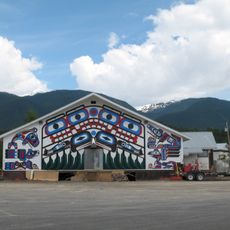
Gitlaxt'aamiks
89.2 km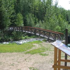
Driftwood Canyon Provincial Park
103.7 km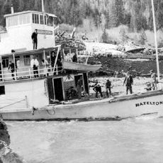
Kitselas Canyon
11.9 km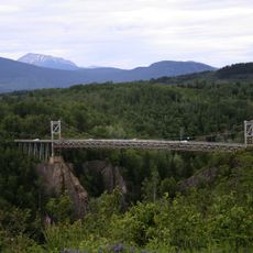
Hagwilget Canyon Bridge
102.3 km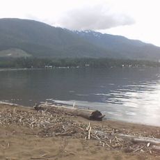
Lakelse Lake Provincial Park
14.4 km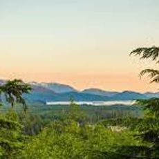
Atna River Provincial Park
72.5 km
Seven Sisters Protected Area
59.8 km
Howson Peak
52.5 km
Gardner Canal
104.5 km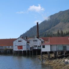
North Pacific Cannery National Historic Site
115 km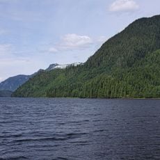
Khutzeymateen Inlet
99.8 km
Prudhomme Lake Provincial Park
107.7 km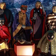
Nisga'a Museum
88.6 km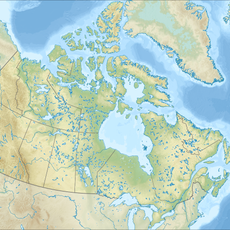
Boulder Creek Provincial Park
98.7 km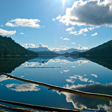
Diana Lake Provincial Park
110 km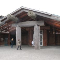
Museum of Northern British Columbia
117.7 km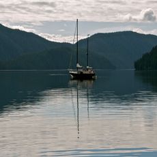
Foch-Gilttoyees Provincial Park
80.8 km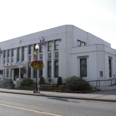
Prince Rupert City Hall
117.9 km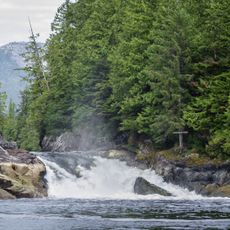
Lowe Inlet Marine Provincial Park
126.6 km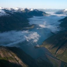
Owyacumish River Provincial Park
109.4 km
Storehouse No. 3
128.5 km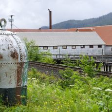
North Pacific Cannery National Historic Site
114.8 km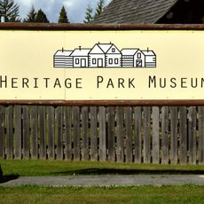
Heritage Park
4.3 km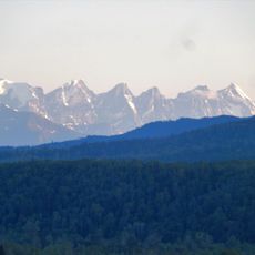
Seven Sisters Provincial Park
59.8 km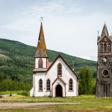
St. Paul's Anglican Church
72 km
Lowe Inlet
127.2 kmReviews
Visited this place? Tap the stars to rate it and share your experience / photos with the community! Try now! You can cancel it anytime.
Discover hidden gems everywhere you go!
From secret cafés to breathtaking viewpoints, skip the crowded tourist spots and find places that match your style. Our app makes it easy with voice search, smart filtering, route optimization, and insider tips from travelers worldwide. Download now for the complete mobile experience.

A unique approach to discovering new places❞
— Le Figaro
All the places worth exploring❞
— France Info
A tailor-made excursion in just a few clicks❞
— 20 Minutes