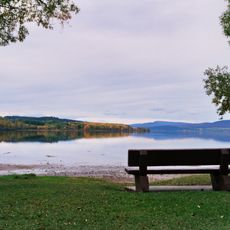
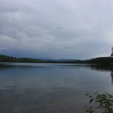
Burns Lake, village in British Columbia, Canada
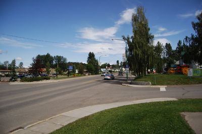
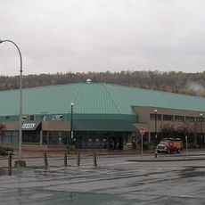
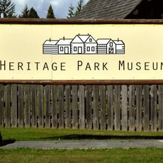
Burns Lake is a small village in the center of the Lakes District, situated along Highway 16. It serves as a central shopping and services hub for residents from surrounding rural communities, with two shopping malls and various stores selling everything from local artwork to hardware and food.
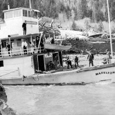
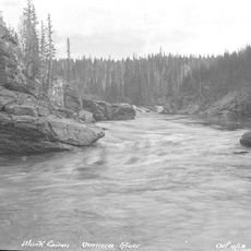
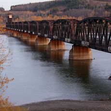
Burns Lake was officially established in 1923, following the arrival of the railway in 1914. Indigenous peoples inhabited the area for many centuries before European traders arrived in the early 1800s seeking furs and natural resources.
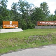
Burns Lake is home to several First Nations groups including the Wet'suwet'en and Lake Babine Nation, whose presence has shaped the community for generations. Local celebrations and gatherings keep traditional stories and cultural practices alive in daily community life.
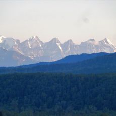
The village is easily accessible by car via the highways, though there is no major airport nearby. Once there, visitors can walk around town or use bicycles to explore local shops, restaurants, and access to nearby lakes.
The village takes pride in its single traffic light and distinctive sense of humor, with locals known for their quick wit. A crooked street running through town dates back to its founding days and stands as a symbol of the community's resilience and character.
The community of curious travelers
AroundUs brings together thousands of curated places, local tips, and hidden gems, enriched daily by 60,000 contributors worldwide.