
Taweel Provincial Park, provincial park in British Columbia
Location: Thompson-Nicola Regional District
GPS coordinates: 51.64100,-120.36600
Latest update: March 23, 2025 06:25
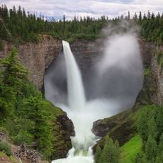
Helmcken Falls
37.2 km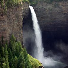
Wells Gray Provincial Park
77.4 km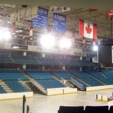
Sandman Centre
107.2 km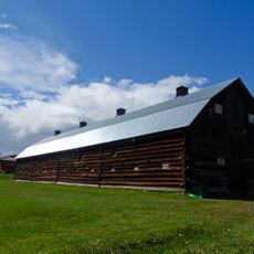
108 Mile Ranch
68.6 km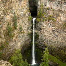
Spahats Creek Falls
26.2 km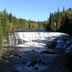
Dawson Falls
40.1 km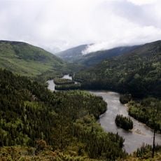
Clearwater River
66.7 km
Lone Butte
57.7 km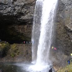
Moul Falls
30.7 km
Chasm Provincial Park
90.4 km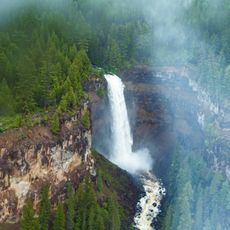
Deadman River
72.3 km
Canim Falls
29.6 km
Paul Lake Provincial Park
101.5 km
Tsútswecw Provincial Park
96.7 km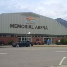
Kamloops Memorial Arena
107.4 km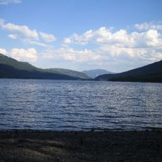
Adams Lake Provincial Park
85.4 km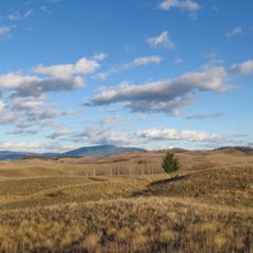
Lac du Bois Grasslands Protected Area
97.4 km
Green Lake Provincial Park
63 km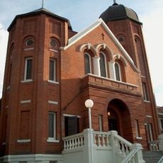
Sacred Heart Cathedral
107.9 km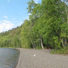
Canim Beach Provincial Park
39.7 km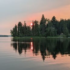
Bridge Lake Provincial Park
29 km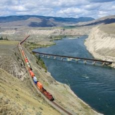
Juniper Beach Provincial Park
107.5 km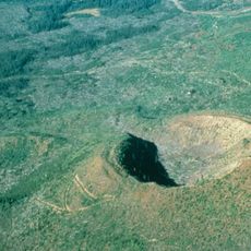
Flourmill Volcanoes
45.9 km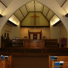
St. Paul's Cathedral
107.8 km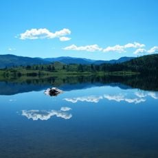
Niskonlith Lake Provincial Park
102.6 km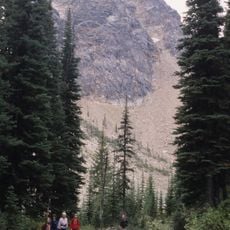
Caligata Lake Provincial Park
38.2 km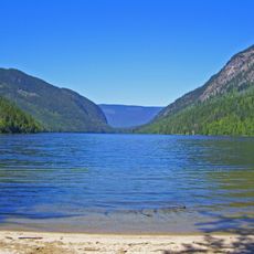
Momich Lakes Provincial Park
67.7 km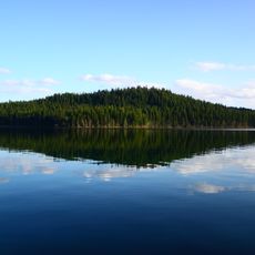
Rainbow/Q'iwentem Provincial Park
30.4 kmReviews
Visited this place? Tap the stars to rate it and share your experience / photos with the community! Try now! You can cancel it anytime.
Discover hidden gems everywhere you go!
From secret cafés to breathtaking viewpoints, skip the crowded tourist spots and find places that match your style. Our app makes it easy with voice search, smart filtering, route optimization, and insider tips from travelers worldwide. Download now for the complete mobile experience.

A unique approach to discovering new places❞
— Le Figaro
All the places worth exploring❞
— France Info
A tailor-made excursion in just a few clicks❞
— 20 Minutes