East Pine Provincial Park, provincial park in British Columbia, Canada
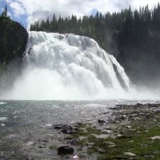
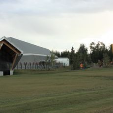
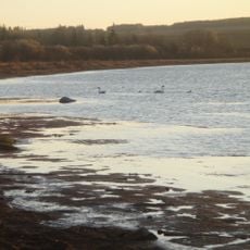
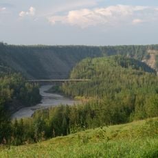
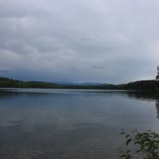
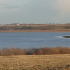
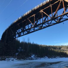
East Pine Provincial Park is a small protected area in the foothills of the Rocky Mountains where the East Pine River meets the Murray River. The park has a boat launch, pit toilets, and space for day activities like fishing, canoeing, and boating on both rivers.
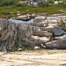
The park was developed to protect the natural landscape along the East Pine and Murray Rivers, important habitat in the mountains. The area has long been used by local communities and visitors for recreation and sustenance.
The park sits on traditional territory of Indigenous Peoples whose long connection to this land shapes the region. Local communities share their stories and cultural traditions with visitors who explore the area respectfully.
There is no drinking water in the park, so visitors should bring their own supplies and food. Facilities are basic with toilets and a boat launch but no shops or lodging, making it best suited for day trips.
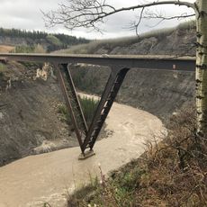
The river flows swiftly with fallen trees along its course, presenting paddlers with challenges they might not encounter elsewhere. This condition makes the location ideal for experienced paddlers who can navigate currents and obstacles safely.
The community of curious travelers
AroundUs brings together thousands of curated places, local tips, and hidden gems, enriched daily by 60,000 contributors worldwide.