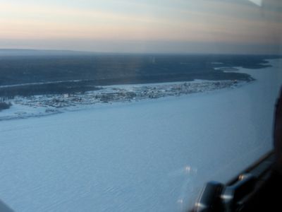
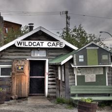
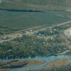
Fort Simpson, village in Northwest Territories, Canada
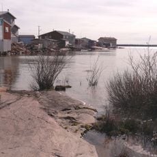
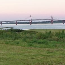
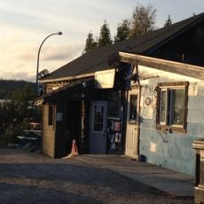
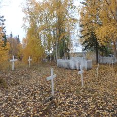
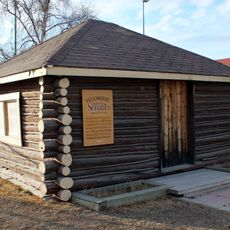
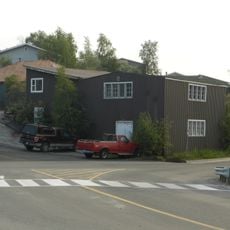
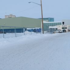
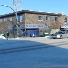
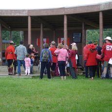
Fort Simpson is a village in the Northwest Territories located where the Liard and Mackenzie Rivers meet. It has around 1,100 residents today and is recognized as a national historic site of Canada, with historic buildings and landscapes that tell stories from the past.
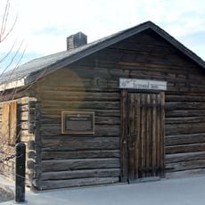
Fort Simpson was established in 1822 by the Hudson's Bay Company and grew from a traditional trading place used by the Dene people for hundreds of years. The settlement became an important hub for traders and explorers linking different parts of northern Canada.
The name Łı́ı́dlı̨ı̨ Kų́ę́ comes from the Dene Zhatıe language and means 'the place where rivers come together.' Dene, Métis, and Euro-Canadian people live here together and maintain their languages and customs today.
The village has parks and parking areas from which you can walk and explore the area comfortably. Public washrooms are available, making it easy for families and travelers to enjoy the surroundings.
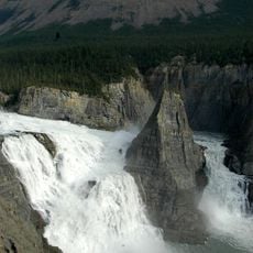
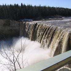
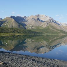
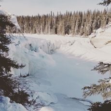
The village serves as a gateway to Nahanni National Park, a well-known destination for nature lovers wanting to see wild rivers and mountains. Virginia Falls, also called Náįlįcho, is nearby and is a powerful waterfall that impresses visitors with its roaring sound.
The community of curious travelers
AroundUs brings together thousands of curated places, local tips, and hidden gems, enriched daily by 60,000 contributors worldwide.