
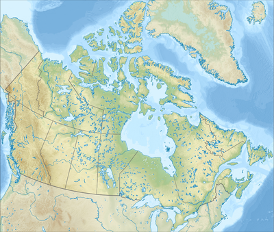
Tatei Ridge, ridge on boundary of Alberta and British Columbia in Canada
Location: Alberta
Location: British Columbia
Elevation above the sea: 2,911 m
GPS coordinates: 53.16280,-119.08670
Latest update: June 3, 2025 00:12
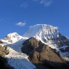
Mount Robson
7.4 km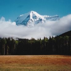
Mount Robson Provincial Park
31.3 km
Yellowhead Pass
51.5 km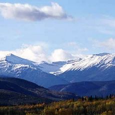
Willmore Wilderness Park
60 km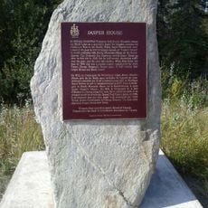
Jasper House
73.6 km
The Whistlers
74 km
Mount Sir Wilfrid Laurier
58.9 km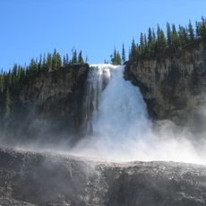
Emperor Falls
8.7 km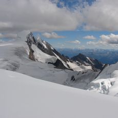
Resplendent Mountain
8.4 km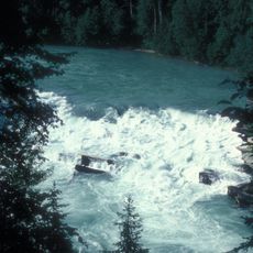
Rearguard Falls Provincial Park
27.8 km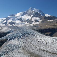
Robson Glacier
3.4 km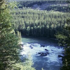
Rearguard Falls
27.8 km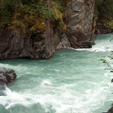
Overlander Falls
16.3 km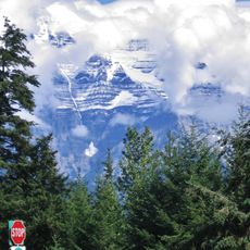
Mount Terry Fox Provincial Park
26.8 km
Hawk Mountain
73.3 km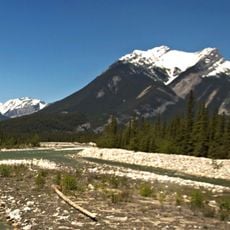
Chetamon Mountain
60.6 km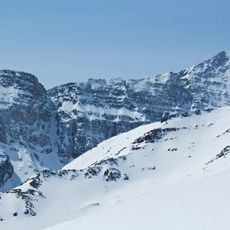
Manx Peak
73.8 km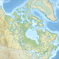
Salient Mountain
28.8 km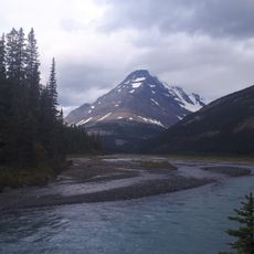
Mount Bess
28.3 km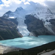
Berg Glacier
6 km
Municipal Library Building
74.3 km
Jacques Lake Warden Cabin
68.9 km
Superintendent's Residence
74.3 km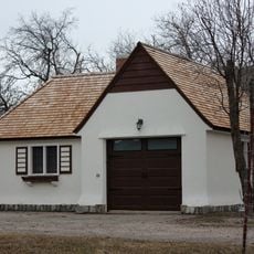
Superintendent's Garage
74.3 km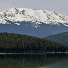
Muhigan Mountain
68.8 km
Majestic Mountain
73.8 km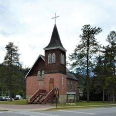
Jasper Lutheran Church
74.3 km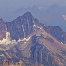
Mount Estella
73.4 kmReviews
Visited this place? Tap the stars to rate it and share your experience / photos with the community! Try now! You can cancel it anytime.
Discover hidden gems everywhere you go!
From secret cafés to breathtaking viewpoints, skip the crowded tourist spots and find places that match your style. Our app makes it easy with voice search, smart filtering, route optimization, and insider tips from travelers worldwide. Download now for the complete mobile experience.

A unique approach to discovering new places❞
— Le Figaro
All the places worth exploring❞
— France Info
A tailor-made excursion in just a few clicks❞
— 20 Minutes