Alberta Rockies, Mountain range in Alberta, Canada.
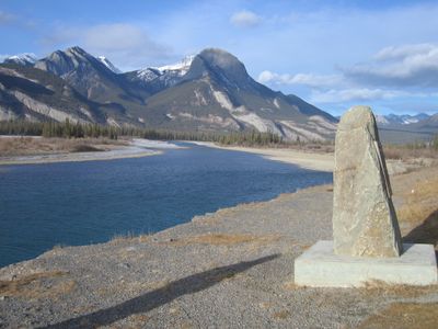
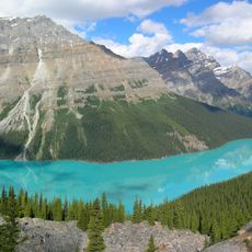
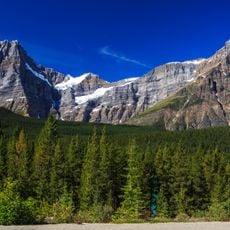
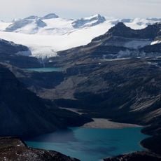
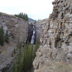
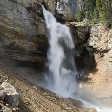
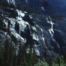
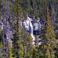
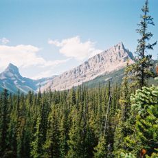
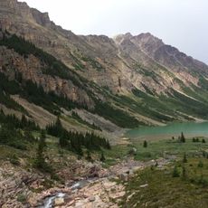
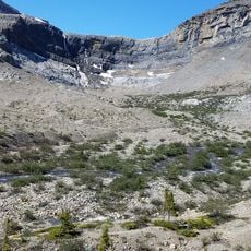
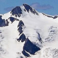
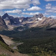
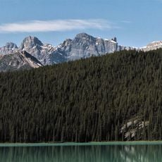
The Alberta Rockies form a mountain complex spanning western Alberta, defined by towering rock walls, deep valleys, and numerous snow-capped peaks. The terrain ranges from gentle rolling slopes to sheer vertical cliffs and dramatic escarpments that rise hundreds of meters straight up.
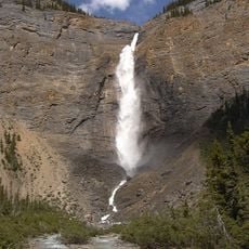
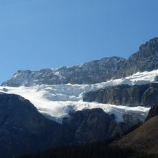
These mountains formed over 80 million years ago through massive geological shifts that pushed ancient sedimentary layers up and over one another. Later, glaciers carved and shaped them into the steep-sided valleys and sharp peaks visible today.
The Ktunaxa, Secwepemc, and Nakoda peoples have shaped their identities around these mountains for countless generations, and their stories remain woven into the landscape. You can sense this connection at sacred sites and in the names given to valleys, lakes, and peaks throughout the region.
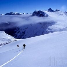
The region spans several major national parks and protected areas, each with their own access rules and activity guidelines. The best time to visit is between June and September, when most trails have clear conditions and days are long.
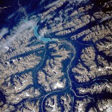
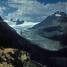
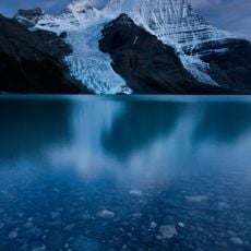
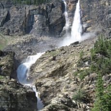
The Columbia Icefield feeds the sources of three of North America's largest river systems, each flowing toward different parts of the continent. This geological wonder concentrates the origins of vast water supplies in a relatively small area.
The community of curious travelers
AroundUs brings together thousands of curated places, local tips, and hidden gems, enriched daily by 60,000 contributors worldwide.