Central Alberta, Geographic region in Alberta, Canada
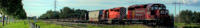
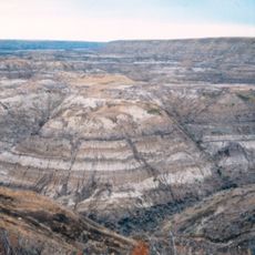
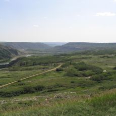
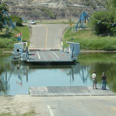
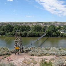
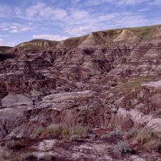
Central Alberta stretches from the Canadian Rockies in the west to the Saskatchewan border in the east, containing valleys formed by the North Saskatchewan and Red Deer Rivers. The region holds several established towns and rural districts connected by highways that cross the prairie landscape.
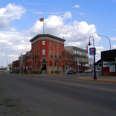
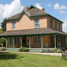
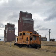
European settlers arrived in the late 1800s to establish agricultural communities, leading to the founding of towns like Red Deer and Camrose. These early settlements became the foundation for the region's modern growth and connection to surrounding areas.
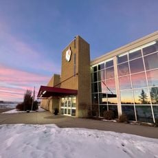
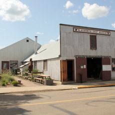
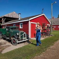
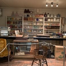
The region developed around farming communities that maintain their rural character and local traditions today. Visitors can experience everyday farm life and small-town culture by exploring the main streets and gathering spaces of these communities.
The Queen Elizabeth II Highway serves as the main route through the region, making it easy to travel between communities and attractions. Spring through fall offers the most comfortable conditions for exploring the landscape and visiting small towns.
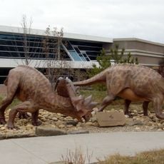
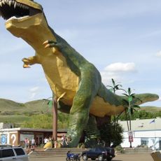
The region is home to oversized monuments scattered across different communities, such as a massive mushroom sculpture in Vilna and a giant perogy structure in Glendon. Travelers often seek out these quirky roadside artworks as curious stops along their journey.
The community of curious travelers
AroundUs brings together thousands of curated places, local tips, and hidden gems, enriched daily by 60,000 contributors worldwide.