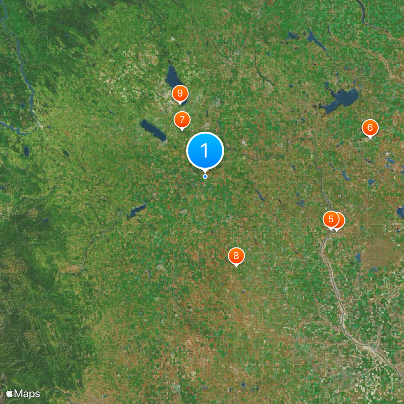
Calgary–Edmonton Corridor, Urban corridor in Alberta, Canada.
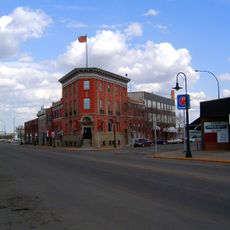
The Calgary-Edmonton Corridor is an urban region spanning roughly 400 kilometers, linking three major cities and numerous smaller towns across Alberta. The landscape consists of neighborhoods, commercial areas, and industrial zones connected by a network of highways and local roads.
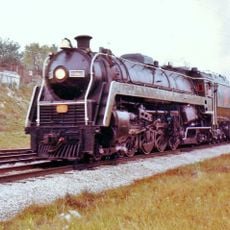
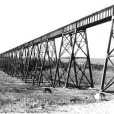
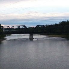
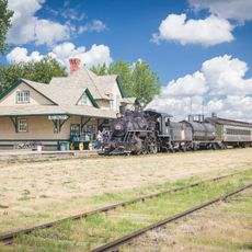
A railway first connected the two major cities in the late 1800s as an organized transportation system. Modern highways gradually replaced rail as the primary link between communities across the region.
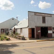
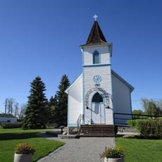
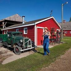
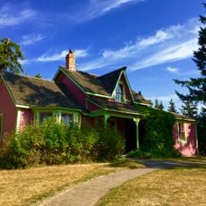
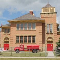
The corridor contains several distinct communities, each maintaining local markets, seasonal festivals, and neighborhood gatherings throughout the year. These activities shape how residents connect with one another in their daily lives.
The main route through the region is the Queen Elizabeth II Highway, which handles most long-distance travel. Having a car is helpful for exploring the corridor, as public transportation between communities is limited outside the major cities.
The region produces more wealth per person than most other major metropolitan areas in North America. This economic strength shapes the modern character and ongoing development of the corridor.
The community of curious travelers
AroundUs brings together thousands of curated places, local tips, and hidden gems, enriched daily by 60,000 contributors worldwide.