
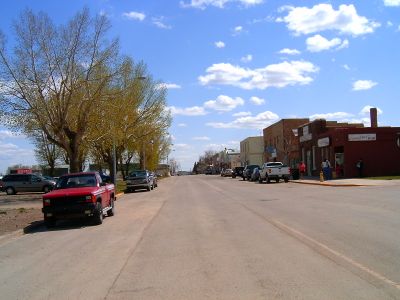
Carstairs, town in Alberta, Canada
Location: Alberta
Elevation above the sea: 1,060 m
Shares border with: Mountain View County
Website: http://carstairs.ca
GPS coordinates: 51.56190,-114.09500
Latest update: March 9, 2025 06:12
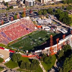
McMahon Stadium
54.8 km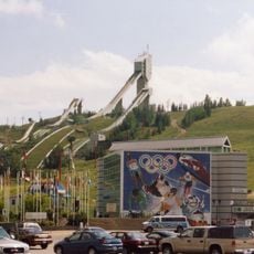
Canada Olympic Park
54.3 km
Nose Hill Park
49.6 km
Canada's Sports Hall of Fame
54 km
Southern Alberta Jubilee Auditorium
55.6 km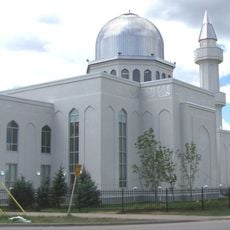
Baitun Nur Mosque
51.9 km
Foothills Stadium
54.4 km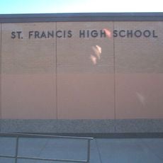
Saint Francis High School
53.1 km
Big Hill Springs Provincial Park
40 km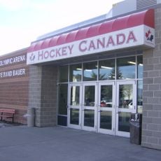
Father David Bauer Olympic Arena
54.4 km
Bowness Park
52.4 km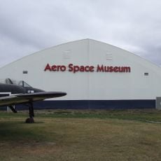
Aero Space Museum of Calgary
52.4 km
North Hill Centre
55.2 km
Confederation Park, Calgary
54.3 km
Torrington Gopher Hole Museum
42.5 km
Glenbow Ranch Provincial Park
48.6 km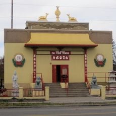
Pai Yuin Temple
55 km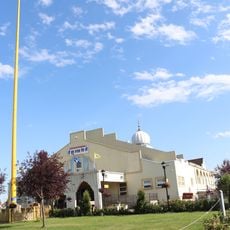
Gurdwara Dasmesh Cultural Center Calgary
50.8 km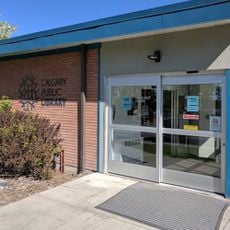
Louise Riley Library
55.3 km
Heritage Hall
55.4 km
Sunnyslope Sandstone Shelter
35.4 km
Gurdwara Darbar Shri Guru Granth Sahib Ji
51.2 km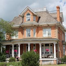
Hiebert Residence
11.9 km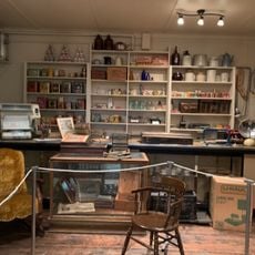
Innisfail Historical Village
51.9 km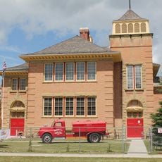
Red Brick School
11.6 km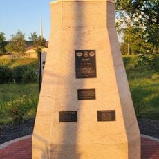
Jose Rizal historical marker
32 km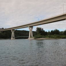
Stoney Trail Bow River Bridge
52.5 km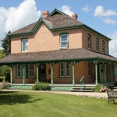
Dr. Henry George Residence
53.2 kmReviews
Visited this place? Tap the stars to rate it and share your experience / photos with the community! Try now! You can cancel it anytime.
Discover hidden gems everywhere you go!
From secret cafés to breathtaking viewpoints, skip the crowded tourist spots and find places that match your style. Our app makes it easy with voice search, smart filtering, route optimization, and insider tips from travelers worldwide. Download now for the complete mobile experience.

A unique approach to discovering new places❞
— Le Figaro
All the places worth exploring❞
— France Info
A tailor-made excursion in just a few clicks❞
— 20 Minutes