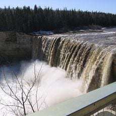
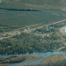
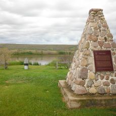
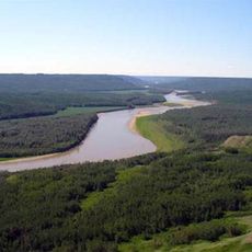
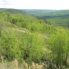
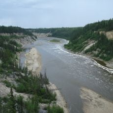
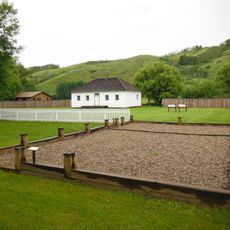
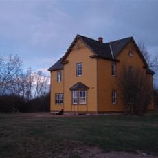
Mackenzie County, specialized municipality in Alberta, Canada
Location: Alberta
Shares border with: Northern Rockies Regional Municipality, County of Northern Lights, Dehcho Region, South Slave Region
Website: http://mackenziecounty.com
GPS coordinates: 58.72556,-117.02833
Latest update: April 16, 2025 10:06
Wood Buffalo National Park
242.8 km
Fort Resolution
330.3 km
Deh Cho Bridge
285.7 km
Alexandra Falls
201.9 km
Enterprise
209.6 km
Horn River Formation
337.2 km
Dunvegan Provincial Park
325.8 km
Sambaa K'e
304.9 km
Fort Fork
289.3 km
Bluesky Formation
305.7 km
Chinchaga Wildland Provincial Park
231.6 km
Dunvegan Formation
326.8 km
Peace River Formation
281.7 km
Peace River Wildland Provincial Park
307.9 km
Greene Valley Provincial Park
288.3 km
Peace River meteorite
293.6 km
Redknife Formation
325.3 km
Kaskapau Formation
327.2 km
Cathedral of St. John the Baptist
335.6 km
Figure Eight Lake Provincial Recreation Area
274.5 km
Vermilion Chutes
131.3 km
Worlds Largest Bee
333.2 km
Lady Evelyn Falls Territorial Park
249.4 km
McNallie Creek Territorial Park
230 km
Fort Chipewyan III
339.7 km
Twin Falls Gorge Territorial Park
204.9 km
Factor’s House
325.9 km
Fort Vermilion
70 kmReviews
Visited this place? Tap the stars to rate it and share your experience / photos with the community! Try now! You can cancel it anytime.
Discover hidden gems everywhere you go!
From secret cafés to breathtaking viewpoints, skip the crowded tourist spots and find places that match your style. Our app makes it easy with voice search, smart filtering, route optimization, and insider tips from travelers worldwide. Download now for the complete mobile experience.
A unique approach to discovering new places❞
— Le Figaro
All the places worth exploring❞
— France Info
A tailor-made excursion in just a few clicks❞
— 20 Minutes