Boyer Rapids, rapids in Alberta, Canada
Location: Alberta
Elevation above the sea: 257 m
GPS coordinates: 59.16696,-112.66883
Latest update: March 7, 2025 05:59
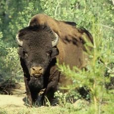
Wood Buffalo National Park
30 km
Fort Resolution
230 km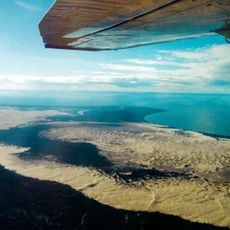
Athabasca Sand Dunes Provincial Park
212.1 km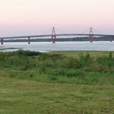
Deh Cho Bridge
357.6 km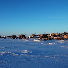
Łutselk'e
375.4 km
McMurray Formation
276.7 km
Alexandra Falls
250.6 km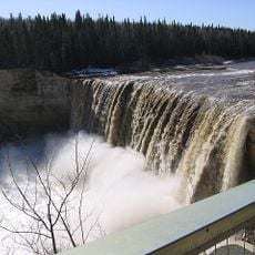
Enterprise
248.3 km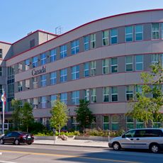
Greenstone Building
377.3 km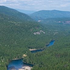
Clearwater Formation
149.6 km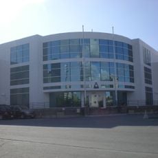
Canadian Forces Northern Area Headquarters Yellowknife
377.6 km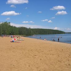
Gregoire Lake Provincial Park
311.3 km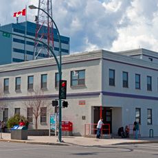
Yellowknife Post Office
377.4 km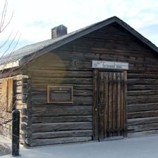
Fireweed Studio
377.4 km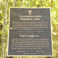
Clearwater River Provincial Park
333.1 km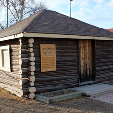
Log School House
377.2 km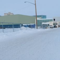
NACC Theatre
377.1 km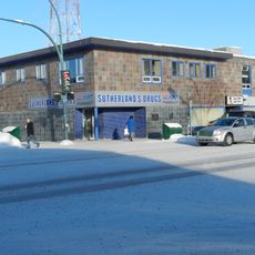
Sutherland's Drug Store
377.4 km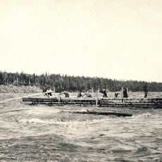
Vermilion Chutes
155 km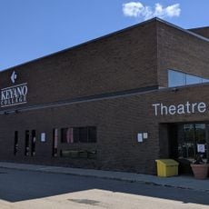
Keyano Theatre & Arts Centre
284.1 km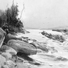
Grand Rapids
316.3 km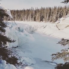
Lady Evelyn Falls Territorial Park
326.9 km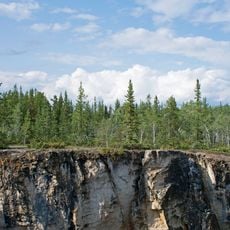
McNallie Creek Territorial Park
282.1 km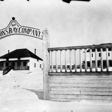
Fort Chipewyan III
100.9 km
Twin Falls Gorge Territorial Park
249.2 km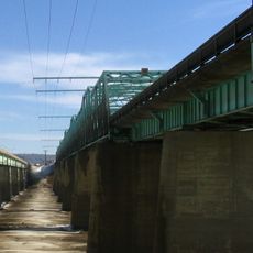
Grant MacEwan Bridge
281.3 km
Fort Vermilion
210.6 km
Hudson's Bay Company Factor's House
210.6 kmReviews
Visited this place? Tap the stars to rate it and share your experience / photos with the community! Try now! You can cancel it anytime.
Discover hidden gems everywhere you go!
From secret cafés to breathtaking viewpoints, skip the crowded tourist spots and find places that match your style. Our app makes it easy with voice search, smart filtering, route optimization, and insider tips from travelers worldwide. Download now for the complete mobile experience.

A unique approach to discovering new places❞
— Le Figaro
All the places worth exploring❞
— France Info
A tailor-made excursion in just a few clicks❞
— 20 Minutes