Wollaston Lake, Glacial lake in northern Saskatchewan, Canada
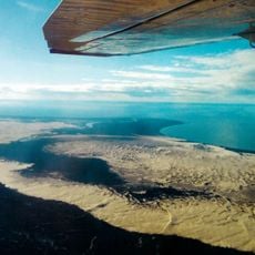
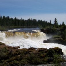
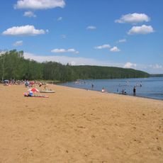
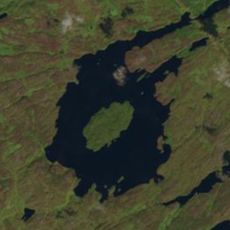
Wollaston Lake is a glacial lake in north-eastern Saskatchewan covering 2,286 km² excluding islands, or 2,681 km² with them. It has an average depth of 20.6 m and a maximum depth of 71 m, a water volume of about 75 km³, a surface elevation of 398 m, and a shoreline 1,475 km long. Its catchment area is 23,310 km².
The lake was first noted by explorer Samuel Hearne in 1770, and later mapped by David Thompson who recorded its unusual water flow patterns. These early observations made it a significant landmark for traders traveling through the northern wilderness.
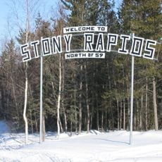
The lake's Cree name, cîkahikan sâkahikanihk, means 'at hatchet/axe lake'. The only settlement on its shores is Wollaston Lake, made up of the northern hamlet of Wollaston Lake and the adjacent Wollaston Post of the Hatchet Lake Dene Nation. Together they have about 1,380 residents.
Highway 905 runs along the western shore, but the community of Wollaston Lake lies on the eastern side. Cross by winter road when the lake is frozen from November through June, or by barge at other times. Rise Air schedules flights to Wollaston Lake Airport from Points North Landing, La Ronge, Prince Albert and Saskatoon.
The lake has a rare hydrological characteristic where water naturally flows in opposite directions through separate river systems. This bifurcation makes it one of only a few places on Earth where such water division occurs naturally.
The community of curious travelers
AroundUs brings together thousands of curated places, local tips, and hidden gems, enriched daily by 92,630 contributors worldwide.