Brink Rapids, rapids in Saskatchewan, Canada
Location: Saskatchewan
Elevation above the sea: 359 m
GPS coordinates: 59.03361,-104.68449
Latest update: March 18, 2025 04:15
Wood Buffalo National Park
474.2 km
Four Corners
185.5 km
Fort Resolution
552 km
Athabasca Sand Dunes Provincial Park
244.9 km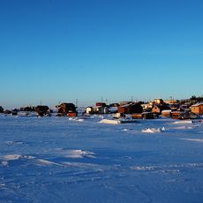
Łutselk'e
499.1 km
McMurray Formation
470.1 km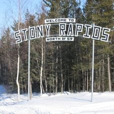
Stony Rapids
70.4 km
Clearwater Formation
403.2 km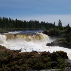
Pisew Falls Provincial Park
571.2 km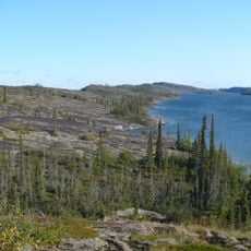
Thaidene Nëné National Park Reserve
461.4 km
Meadow Lake Provincial Park
569.1 km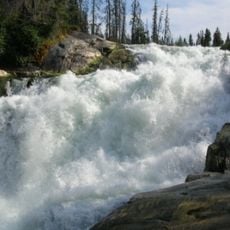
Nistowiak Falls
405.4 km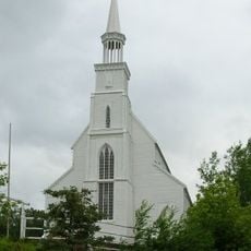
Holy Trinity Anglican Church
402.6 km
Gregoire Lake Provincial Park
478.6 km
Gow crater
286.9 km
Lac La Ronge Provincial Park
409.2 km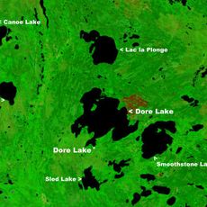
Dore Lake
518.3 km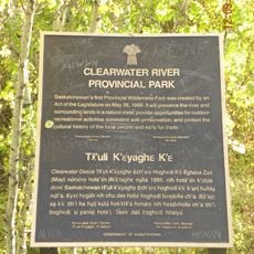
Clearwater River Provincial Park
347.5 km
Caribou River Provincial Park
459.5 km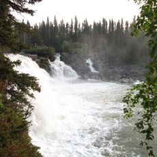
Kwasitchewan Falls
569.7 km
Clarence-Steepbank Lakes Provincial Park
533.2 km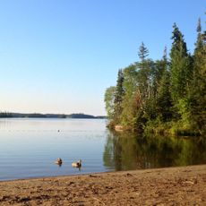
Bakers Narrows Provincial Park
518.9 km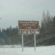
Sasagiu Rapids Provincial Park
573.2 km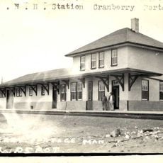
Cranberry Portage railway station
534.3 km
Twin Buttes
487 km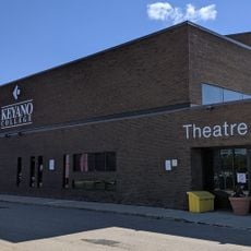
Keyano Theatre & Arts Centre
471.3 km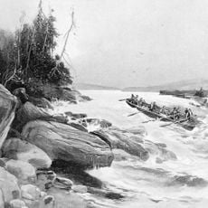
Grand Rapids
559.1 km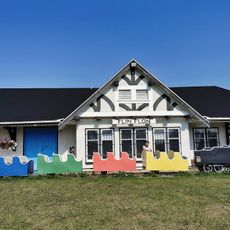
Flin Flon Station Museum
505 kmReviews
Visited this place? Tap the stars to rate it and share your experience / photos with the community! Try now! You can cancel it anytime.
Discover hidden gems everywhere you go!
From secret cafés to breathtaking viewpoints, skip the crowded tourist spots and find places that match your style. Our app makes it easy with voice search, smart filtering, route optimization, and insider tips from travelers worldwide. Download now for the complete mobile experience.

A unique approach to discovering new places❞
— Le Figaro
All the places worth exploring❞
— France Info
A tailor-made excursion in just a few clicks❞
— 20 Minutes