Enable Location

We need your location to show you interesting places around you

Discover nearby places

Find interesting locations and hidden gems around you

Precise directions

Get accurate directions and distances to places

Your location is never shared with other users. It's only used when you tap the location button.

Donley County

Log in to your account

Start exploring — it's free

Trusted by 62,488 travelers worldwide

Continue with Google
Continue with Apple
or

We will send you a code to connect

By continuing, you accept our Terms and Conditions and our Privacy Policy

Check your inbox

We've sent a pincode in your inbox. Please enter the code below.

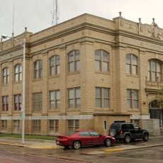
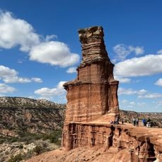
Donley County, County in Texas, United States.

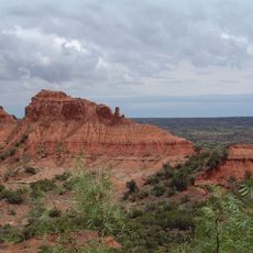
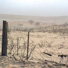
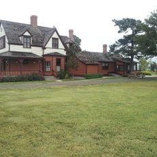
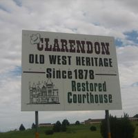
Donley County occupies the southeastern Texas Panhandle with Clarendon serving as its administrative center. The region is defined by ranching, agriculture, and small communities scattered throughout the landscape.

The Texas Legislature established this county in 1876, naming it after Texas Supreme Court Justice Stockton P. Donley. Official organization came in 1882 after settlers began moving into the region.

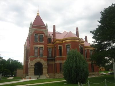
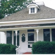
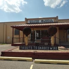
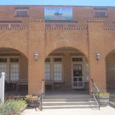
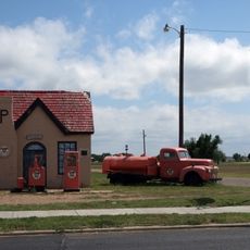
The Saints Roost Museum in Clarendon preserves local artifacts and documents from early settlers and Native American communities that shaped the region.

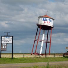
Several major transportation routes pass through the county, including Interstate 40 and U.S. Highway 287, linking residents to larger urban areas. Visitors should note that some rural areas have limited services, so it is wise to plan ahead and stock up on supplies.

The county experienced remarkable population growth between 1880 and 1890, growing from roughly 160 to over 1,000 residents. This rapid expansion was driven by the opening of new lands and opportunities in ranching and settlement.

The community of curious travelers

AroundUs brings together thousands of curated places, local tips, and hidden gems, enriched daily by 60,000 contributors worldwide.

Start exploring
Location
Inception
1882
Capital city
Clarendon
Shares border with
Armstrong County, Gray County, Collingsworth County, Hall County, Briscoe County, Wheeler County, Carson County
GPS coordinates
34.96000,-100.81000
Latest update
December 10, 2025 15:56
Around this place
Caprock Canyons State Park and Trailway
United States of America

Caprock Canyons State Park and Trailway

61.6 km
JA Ranch
United States of America

JA Ranch

38.1 km
Leaning Tower of Britten
United States of America

Leaning Tower of Britten

36.3 km
McClellan Creek National Grassland
United States of America

McClellan Creek National Grassland

28.4 km
Fort Elliott
United States of America

Fort Elliott

69.9 km
Devils Rope Barbed Wire Museum
United States of America

Devils Rope Barbed Wire Museum

35.9 km
Hotel Turkey
United States of America

Hotel Turkey

63.5 km
Charles and Mary Ann Goodnight Ranch House
United States of America

Charles and Mary Ann Goodnight Ranch House

34.9 km
Carson County Square House Museum
United States of America

Carson County Square House Museum

67.4 km
Midway Drive-In
United States of America

Midway Drive-In

66.9 km
Route 66 Bridge over the Chicago, Rock Island and Gulf Railroad
United States of America

Route 66 Bridge over the Chicago, Rock Island and Gulf Railroad

70.7 km
Cruz Gigante de Groom
United States of America

Cruz Gigante de Groom

39.8 km
Donley County Courthouse and Jail
United States of America

Donley County Courthouse and Jail

7.8 km
Hall County Courthouse
United States of America

Hall County Courthouse

36.1 km
Gray County Courthouse
United States of America

Gray County Courthouse

65.7 km
Lake Theo
United States of America

Lake Theo

65 km
Devil's Rope Museum
United States of America

Devil's Rope Museum

35.9 km
Pioneer West Museum
United States of America

Pioneer West Museum

58.6 km
Pampa City Hall
United States of America

Pampa City Hall

65.6 km
Freedom Museum USA
United States of America

Freedom Museum USA

66 km
Palo Duro State Park
United States of America

Palo Duro State Park

77.8 km
Ritz Theatre
United States of America

Ritz Theatre

55.7 km
Sandell Drive-In
United States of America

Sandell Drive-In

8.2 km
White Deer Land Company Building
United States of America

White Deer Land Company Building

65.5 km
McLean Commercial Historic District
United States of America

McLean Commercial Historic District

35.8 km
Phillips 66 Station (McLean, Texas)
United States of America

Phillips 66 Station (McLean, Texas)

35.8 km
Overlook Interpretive Center
United States of America

Overlook Interpretive Center

64.3 km
Caprock Canyons State Park and Trailway Scenic Overlook
United States of America

Caprock Canyons State Park and Trailway Scenic Overlook

62.4 km
Show the full map
Administrative divisions
« Donley County - County in Texas, United States » is provided by Around Us (aroundus.com). Images and texts are derived from Wikimedia project under a Creative Commons license. You are allowed to copy, distribute, and modify copies of this page, under the conditions set by the license, as long as this note is clearly visible.

Discover hidden gems everywhere you go!

From secret cafés to breathtaking viewpoints, skip the crowded tourist spots and find places that match your style. Our app makes it easy with voice search, smart filtering, route optimization, and insider tips from travelers worldwide. Download now for the complete mobile experience.

Around Us App Screenshot

A unique approach to discovering new places

Le Figaro

All the places worth exploring

France Info

A tailor-made excursion in just a few clicks

20 Minutes

Around Us
Travel Guide & Maps
Download

Send to your phone

QR Code
1

Open the camera app on your mobile.

2

Point at the QR code with your camera. A notification will appear.

3

Tap the notification to open the link.