Enable Location

We need your location to show you interesting places around you

Discover nearby places

Find interesting locations and hidden gems around you

Precise directions

Get accurate directions and distances to places

Your location is never shared with other users. It's only used when you tap the location button.

Clarendon

Log in to your account

Start exploring — it's free

Trusted by 63,977 travelers worldwide

Continue with Google
Continue with Apple
or

We will send you a code to connect

By continuing, you accept our Terms and Conditions and our Privacy Policy

Check your inbox

We've sent a pincode in your inbox. Please enter the code below.

Discussion Reviews 1 Photos
17.7k Popularity

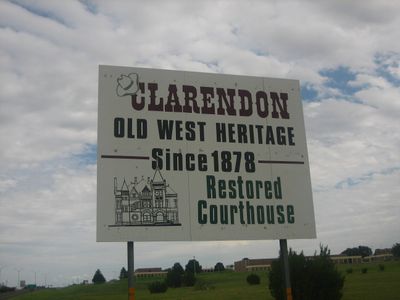
Clarendon, city in Donley County, Texas, U.S.

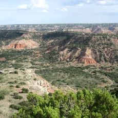
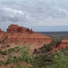
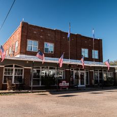
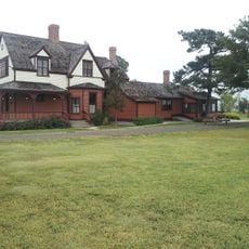
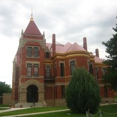
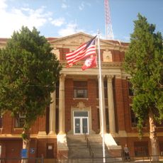
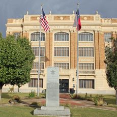
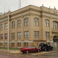
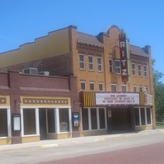
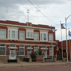
Clarendon is a small town in the Texas Panhandle situated near the junction of Carroll Creek and the Salt Fork of the Red River. Its quiet streets are easy to walk, and the town features churches, shops, and historic buildings that reflect its development over time.

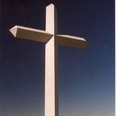
Clarendon was founded in 1878 by Reverend Lewis Henry Carhart, who established a Christian settlement focused on education and faith. In 1887, residents relocated the entire town six miles south to meet the new railroad line, which brought commerce and growth.

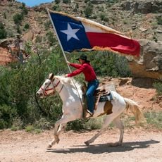
Clarendon was named after Clara, wife of an early settler, and built by people focused on faith and community values. The town's character reflects this heritage through its numerous churches and the welcoming, unhurried way residents treat visitors.

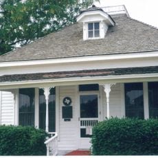
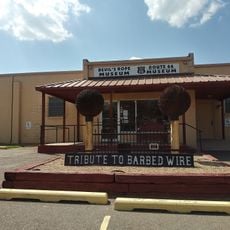
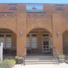
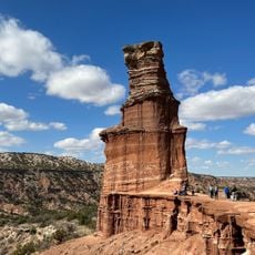
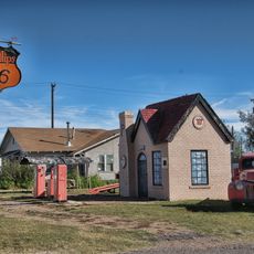
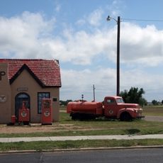
The town sits along US Route 287 and is straightforward to navigate on foot with open, walkable streets. Visitors can find the Donley County Museum, a small airport, nearby lakes, and local restaurants and shops for basic needs.

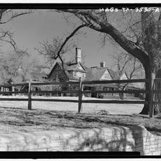
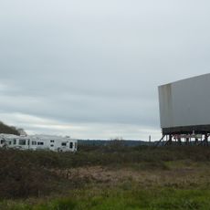
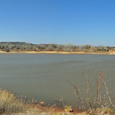
The original settlement site was flooded in 1968 when Greenbelt Reservoir was built, causing an old cemetery to be relocated. Nearby, artist Harold Dow Bugbee established his studio in 1912 and painted western scenes that captured the character of this region.

The community of curious travelers

AroundUs brings together thousands of curated places, local tips, and hidden gems, enriched daily by 60,000 contributors worldwide.

Start exploring
Location
Inception
1878
Elevation above the sea
833 m
GPS coordinates
34.93640,-100.89100
Latest update
February 17, 2026 00:20
Around this place
Palo Duro Canyon
United States of America

Palo Duro Canyon

70.8 km
Caprock Canyons State Park and Trailway
United States of America

Caprock Canyons State Park and Trailway

56.8 km
JA Ranch
United States of America

JA Ranch

30.3 km
Leaning Tower of Britten
United States of America

Leaning Tower of Britten

33.9 km
McClellan Creek National Grassland
United States of America

McClellan Creek National Grassland

30.6 km
Devils Rope Barbed Wire Museum
United States of America

Devils Rope Barbed Wire Museum

42.4 km
Hotel Turkey
United States of America

Hotel Turkey

60.4 km
Charles and Mary Ann Goodnight Ranch House
United States of America

Charles and Mary Ann Goodnight Ranch House

28.6 km
Carson County Square House Museum
United States of America

Carson County Square House Museum

63.8 km
Midway Drive-In
United States of America

Midway Drive-In

63 km
Cruz Gigante de Groom
United States of America

Cruz Gigante de Groom

37.1 km
Donley County Courthouse and Jail
United States of America

Donley County Courthouse and Jail

100 m
Hall County Courthouse
United States of America

Hall County Courthouse

40 km
Gray County Courthouse
United States of America

Gray County Courthouse

67.1 km
Lake Theo
United States of America

Lake Theo

60.2 km
Devil's Rope Museum
United States of America

Devil's Rope Museum

42.4 km
Pioneer West Museum
United States of America

Pioneer West Museum

66.3 km
Pampa City Hall
United States of America

Pampa City Hall

67 km
Freedom Museum USA
United States of America

Freedom Museum USA

67.4 km
Palo Duro State Park
United States of America

Palo Duro State Park

70.4 km
Ritz Theatre
United States of America

Ritz Theatre

62.6 km
Sandell Drive-In
United States of America

Sandell Drive-In

1.1 km
White Deer Land Company Building
United States of America

White Deer Land Company Building

66.9 km
Texas Outdoor Musical
United States of America

Texas Outdoor Musical

72.1 km
McLean Commercial Historic District
United States of America

McLean Commercial Historic District

42.3 km
Phillips 66 Station (McLean, Texas)
United States of America

Phillips 66 Station (McLean, Texas)

42.2 km
Overlook Interpretive Center
United States of America

Overlook Interpretive Center

59.5 km
Caprock Canyons State Park and Trailway Scenic Overlook
United States of America

Caprock Canyons State Park and Trailway Scenic Overlook

57.6 km
Show the full map
Reviews
Share your experience

No review yet

Discussions
Start a discussion...

No discussion yet

« Clarendon - city in Donley County, Texas, U.S » is provided by Around Us (aroundus.com). Images and texts are derived from Wikimedia project under a Creative Commons license. You are allowed to copy, distribute, and modify copies of this page, under the conditions set by the license, as long as this note is clearly visible.

Discover hidden gems everywhere you go!

From secret cafés to breathtaking viewpoints, skip the crowded tourist spots and find places that match your style. Our app makes it easy with voice search, smart filtering, route optimization, and insider tips from travelers worldwide. Download now for the complete mobile experience.

Around Us App Screenshot

A unique approach to discovering new places

Le Figaro

All the places worth exploring

France Info

A tailor-made excursion in just a few clicks

20 Minutes

Around Us
Travel Guide & Maps
Download

Send to your phone

QR Code
1

Open the camera app on your mobile.

2

Point at the QR code with your camera. A notification will appear.

3

Tap the notification to open the link.