Chest opened
+${chestReward.xp} XP
Explorer
NOUVEAU ×${chestReward.collectible.quantity}
tapez pour fermer
Chest locked

Open chests in the app

Around Us is built for your phone — chests unlock when you walk, explore and capture nearby places.

Enable Location

We need your location to show you interesting places around you

Discover nearby places

Find interesting locations and hidden gems around you

Precise directions

Get accurate directions and distances to places

Your location is never shared with other users. It's only used when you tap the location button.

Log in to your account

Start exploring — it's free

Trusted by 72,891 travelers worldwide

Continue with Google
Continue with Apple
or

We will send you a code to connect

By continuing, you accept our Terms and Conditions and our Privacy Policy

Check your inbox

We've sent a pincode in your inbox. Please enter the code below.

Northwestern Oklahoma
Discussion Reviews Photo
7k Popularity

Northwestern Oklahoma, Geographic region in Oklahoma, United States.

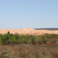
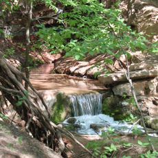
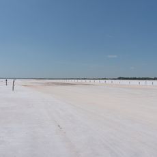
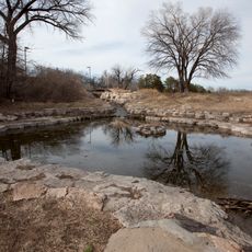
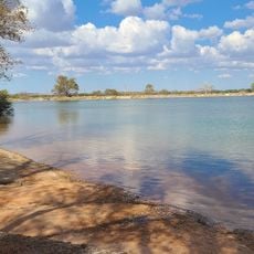
Northwestern Oklahoma is a region spanning the Panhandle and surrounding areas, featuring plains, hills, and river valleys. The landscape varies from flat farmland to rolling terrain and distinctive geological formations.

The area came under American control through the Louisiana Purchase and later connected with Texas, establishing the present boundaries. These early territorial changes set the stage for settlement by farmers and ranchers.

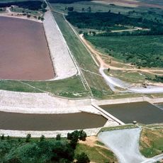
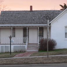
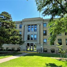
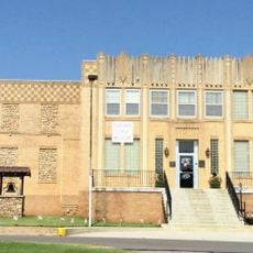
The region is built around farming and ranching, activities that shape how communities work and interact with the land. You see evidence of these traditions in the towns, the way people spend their time, and how the landscape is organized.

Major roads like U.S. Route 64 and Interstate 35 connect the main towns and help you navigate through the area. Planning your visit around these routes makes it easier to reach different parts of the region.

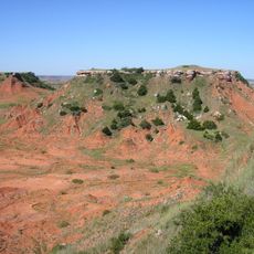
The Glass Mountains south of the Cimarron River form a series of mesas with distinctive reddish soil that stands out visually. This geological feature makes the terrain distinctly different from the surrounding flatter areas.

The community of curious travelers

AroundUs brings together thousands of curated places, local tips, and hidden gems, enriched daily by 60,000 contributors worldwide.

Start exploring
Location
GPS coordinates
36.50000,-99.00000
Latest update
December 10, 2025 15:48
Around this place
Little Sahara State Park
United States of America

Little Sahara State Park

11.2 km
Great Salt Plains Lake
United States of America

Great Salt Plains Lake

77.4 km
Roman Nose State Park
United States of America

Roman Nose State Park

81.3 km
Alabaster Caverns State Park
United States of America

Alabaster Caverns State Park

25.7 km
Salt Plains National Wildlife Refuge
United States of America

Salt Plains National Wildlife Refuge

74.7 km
Gloss Mountain State Park
United States of America

Gloss Mountain State Park

40.5 km
Boiling Springs State Park
United States of America

Boiling Springs State Park

27.2 km
H. H. Champlin House
United States of America

H. H. Champlin House

99.8 km
Fort Supply
United States of America

Fort Supply

50.8 km
Carrie Nation House
United States of America

Carrie Nation House

94.1 km
United States of America

Sod House

51.7 km
Medicine Lodge Peace Treaty Site
United States of America

Medicine Lodge Peace Treaty Site

96.7 km
Midgley Museum
United States of America

Midgley Museum

100.1 km
Ingersoll Tile Elevator
United States of America

Ingersoll Tile Elevator

63.8 km
Waverley Historic District
United States of America

Waverley Historic District

99.6 km
Central National Bank
United States of America

Central National Bank

45.1 km
L. L. Stine House
United States of America

L. L. Stine House

35.9 km
Lamerton House
United States of America

Lamerton House

99.8 km
Protection High School
United States of America

Protection High School

88.7 km
Cherokee Friends Church
United States of America

Cherokee Friends Church

64.4 km
United States Post Office Watonga
United States of America

United States Post Office Watonga

90 km
Blaine County Courthouse
United States of America

Blaine County Courthouse

90 km
Ellis County Courthouse
United States of America

Ellis County Courthouse

80.2 km
Harper County Courthouse
United States of America

Harper County Courthouse

67.2 km
Comanche County Courthouse
United States of America

Comanche County Courthouse

90.3 km
Alfalfa County Courthouse
United States of America

Alfalfa County Courthouse

64.1 km
The Artesian Beach
United States of America

The Artesian Beach

69.5 km
Cherokee Strip Museum of Alva
United States of America

Cherokee Strip Museum of Alva

43.9 km
Show the full map
Reviews
Share your experience

No review yet

Discussions
Start a discussion...

No discussion yet

« Northwestern Oklahoma - Geographic region in Oklahoma, United States » is provided by Around Us (aroundus.com). Images and texts are derived from Wikimedia project under a Creative Commons license. You are allowed to copy, distribute, and modify copies of this page, under the conditions set by the license, as long as this note is clearly visible.

Discover hidden gems everywhere you go!

From secret cafés to breathtaking viewpoints, skip the crowded tourist spots and find places that match your style. Our app makes it easy with voice search, smart filtering, route optimization, and insider tips from travelers worldwide. Download now for the complete mobile experience.

Around Us App Screenshot

A unique approach to discovering new places

Le Figaro

All the places worth exploring

France Info

A tailor-made excursion in just a few clicks

20 Minutes

Around Us
Travel Guide & Maps
Download

Send to your phone

QR Code
1

Open the camera app on your mobile.

2

Point at the QR code with your camera. A notification will appear.

3

Tap the notification to open the link.