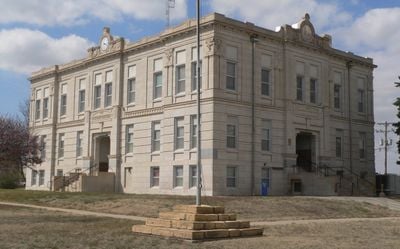
Ness County, Administrative region in Kansas, United States
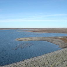
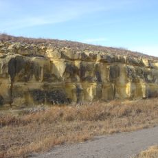
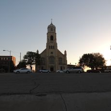
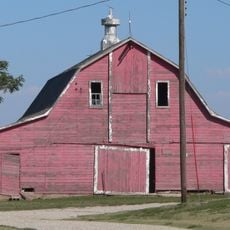
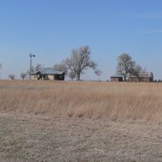
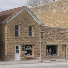
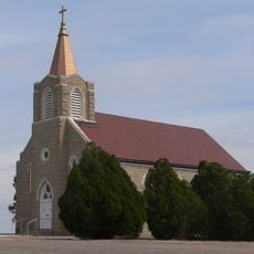
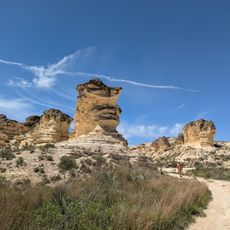
Ness County is an agricultural area in central western Kansas characterized by wide-open farmland and grasslands. The landscape consists of rolling terrain with scattered rural communities and vast stretches of cultivated fields.
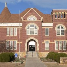
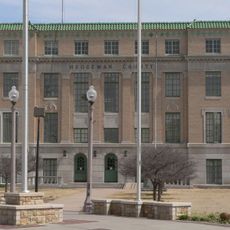
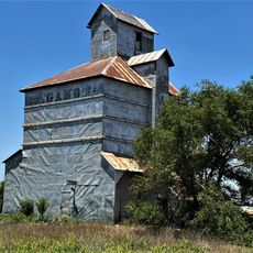
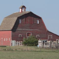
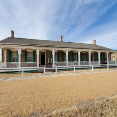
The territory became a county in 1867, named after a soldier from the Civil War era. Early settlement focused on agriculture, which has remained the backbone of the area ever since.
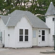
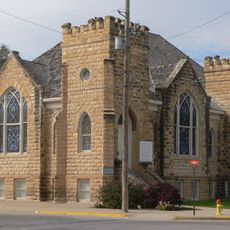
Farming traditions remain central to how people here live and gather together throughout the year. Community events bring neighbors together to celebrate the agricultural way of life that defines the region.
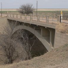
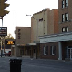
The area is sparsely populated with few larger towns, so expect long distances between communities. Planning ahead and learning about local roads will help you navigate the wide-open landscape.
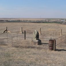
The region ranks among the most sparsely settled parts of Kansas with very few people scattered across the land. This emptiness offers visitors an unobstructed view of endless prairie and open sky.
The community of curious travelers
AroundUs brings together thousands of curated places, local tips, and hidden gems, enriched daily by 60,000 contributors worldwide.