Enable Location

We need your location to show you interesting places around you

Discover nearby places

Find interesting locations and hidden gems around you

Precise directions

Get accurate directions and distances to places

Your location is never shared with other users. It's only used when you tap the location button.

Log in to your account

Start exploring — it's free

Trusted by 63,953 travelers worldwide

Continue with Google
Continue with Apple
or

We will send you a code to connect

By continuing, you accept our Terms and Conditions and our Privacy Policy

Check your inbox

We've sent a pincode in your inbox. Please enter the code below.

Discussion Reviews Photo
17k Popularity

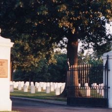
Fort Gibson, town in Oklahoma

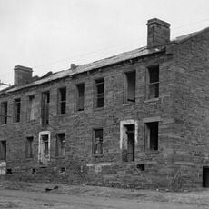
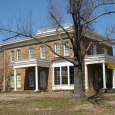
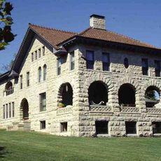
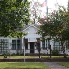
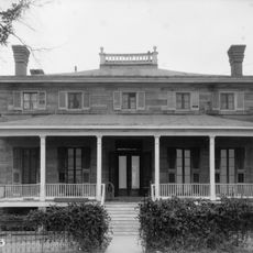
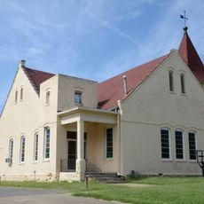
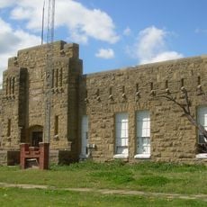
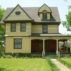
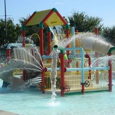
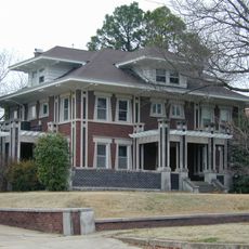
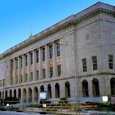
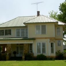
Fort Gibson is a small town in Muskogee County and Cherokee County, Oklahoma, established as the oldest settlement in the state. The town features a mix of historic buildings and modern structures, with parks and public spaces that serve community gatherings and family activities.

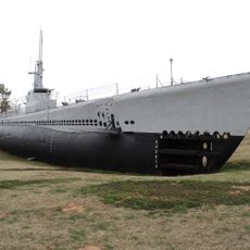
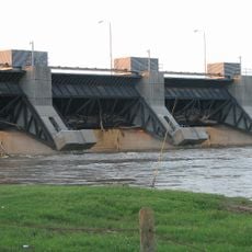
The town originated in 1824 as a military fort called Cantonment Gibson, founded by Colonel Matthew Arbuckle to reduce tensions between regional groups. During the Civil War the site changed hands several times, and later became a trading hub along the Arkansas River where steamboats operated, until railroads gradually took over transportation in the late 1800s.

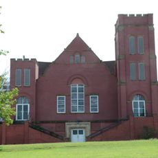
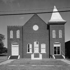
The town's name derives from the military fort established in 1824, which shaped its identity and character over generations. Today residents maintain this heritage through community events, churches, and local organizations that keep the town's traditions alive and visible in everyday life.

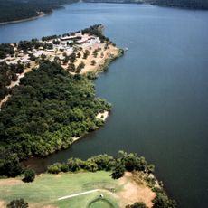
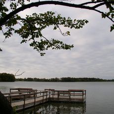
The town is easily accessible by highways 50 and 75, located near Muskogee and Tahlequah for convenient travel. Community events and festivals spread throughout the year offer the best chance to experience local life and interact with residents who enjoy sharing their town's stories.

Fort Gibson was among the first places in Oklahoma to have modern infrastructure, including operating one of the state's first schools for blind students. This forward-thinking approach shows how a small frontier town offered progressive services to its community and beyond.

The community of curious travelers

AroundUs brings together thousands of curated places, local tips, and hidden gems, enriched daily by 60,000 contributors worldwide.

Start exploring
Location
Location
Inception
April 21, 1824
Elevation above the sea
172 m
GPS coordinates
35.79472,-95.25306
Latest update
February 17, 2026 01:20
Around this place
USS Batfish
United States of America

USS Batfish

5.2 km
Fort Gibson
United States of America

Fort Gibson

1.1 km
Sequoyah State Park
United States of America

Sequoyah State Park

13.7 km
Greenleaf State Park
United States of America

Greenleaf State Park

20.4 km
Fort Gibson Dam
United States of America

Fort Gibson Dam

8.6 km
Fort Gibson National Cemetery
United States of America

Fort Gibson National Cemetery

2.4 km
Five Civilized Tribes Museum
United States of America

Five Civilized Tribes Museum

15 km
Manhattan Building
United States of America

Manhattan Building

11.9 km
Severs Hotel
United States of America

Severs Hotel

11.8 km
Chouteau Lock & Dam
United States of America

Chouteau Lock & Dam

12.9 km
A.W. Patterson House
United States of America

A.W. Patterson House

12.7 km
Grant Foreman House
United States of America

Grant Foreman House

12.9 km
First Baptist Church
United States of America

First Baptist Church

11.9 km
Commandant's Quarters
United States of America

Commandant's Quarters

1.6 km
Ward Chapel AME Church
United States of America

Ward Chapel AME Church

12.1 km
Wagoner Armory
United States of America

Wagoner Armory

21.2 km
Surety Building
United States of America

Surety Building

11.8 km
John W. Gibson House
United States of America

John W. Gibson House

20.7 km
Railway Exchange Building
United States of America

Railway Exchange Building

11.7 km
St. Thomas Primitive Baptist Church
United States of America

St. Thomas Primitive Baptist Church

20.9 km
St. James Episcopal Church
United States of America

St. James Episcopal Church

21.2 km
A. C. Trumbo House
United States of America

A. C. Trumbo House

12.7 km
River Country Water Park
United States of America

River Country Water Park

14.8 km
V. R. Coss House
United States of America

V. R. Coss House

12.7 km
Ed Edmondson United States Courthouse
United States of America

Ed Edmondson United States Courthouse

12.1 km
Central Baptist Church
United States of America

Central Baptist Church

11.5 km
United States of America

Hotel Muskogee

11.6 km
Collin McKinney House
United States of America

Collin McKinney House

20 km
Show the full map
Reviews
Share your experience

No review yet

Discussions
Start a discussion...

No discussion yet

« Fort Gibson - town in Oklahoma » is provided by Around Us (aroundus.com). Images and texts are derived from Wikimedia project under a Creative Commons license. You are allowed to copy, distribute, and modify copies of this page, under the conditions set by the license, as long as this note is clearly visible.

Discover hidden gems everywhere you go!

From secret cafés to breathtaking viewpoints, skip the crowded tourist spots and find places that match your style. Our app makes it easy with voice search, smart filtering, route optimization, and insider tips from travelers worldwide. Download now for the complete mobile experience.

Around Us App Screenshot

A unique approach to discovering new places

Le Figaro

All the places worth exploring

France Info

A tailor-made excursion in just a few clicks

20 Minutes

Around Us
Travel Guide & Maps
Download

Send to your phone

QR Code
1

Open the camera app on your mobile.

2

Point at the QR code with your camera. A notification will appear.

3

Tap the notification to open the link.