Muskogee County

Log in to your account

AroundUs is a community-driven map of interesting places, built by curious explorers like you. It grows with every review, story, and photo you share.
Connect to save your favorite spots, contribute locations, and create personalized routes.
By continuing, you accept our Terms and Conditions and our Privacy Policy
Add to collection
Map
Suggest a change
Share

Muskogee County, Administrative county in eastern Oklahoma, United States.

Muskogee County is an administrative county in eastern Oklahoma spanning a landscape that varies between regions. The terrain transitions from prairie grasslands in the west to the Cookson Hills in the east.

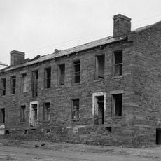
The county was formed in 1907 during Oklahoma statehood from the Muskogee District of the Creek Nation and parts of Cherokee territories. This establishment reflected the reorganization of settlement in the region.

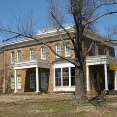
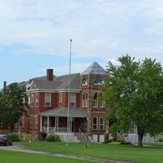
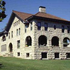
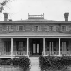
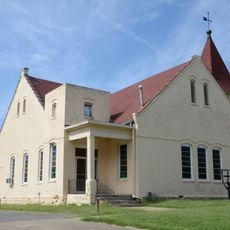
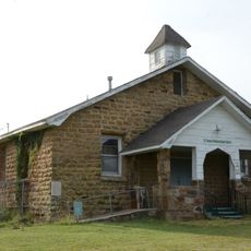
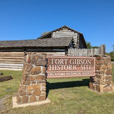
The county preserves Native American heritage through museums and cultural centers that highlight the Muscogee Creek and Cherokee nations. Visitors can see how these traditions continue to shape the communities here.

The county is well connected by multiple highways including Interstate 40, US Highway 62, 64, and 69 that facilitate travel across the region. These road connections make it easy to move around and access different parts.

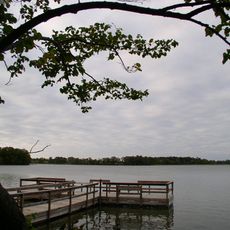
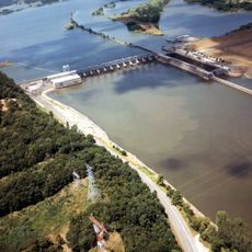
Three major rivers—the Arkansas, Verdigris, and Grand—converge within the county creating a significant water corridor. This water system has historically shaped how communities developed and used the region.

Location: Oklahoma

Inception: 1907

Capital city: Muskogee

Shares border with: Wagoner County, Haskell County, McIntosh County, Cherokee County, Sequoyah County, Okmulgee County

Website: https://muskogee.okcounties.org

GPS coordinates: 35.61000,-95.38000

Latest update: December 7, 2025 19:23

Around this place
Show the full map
Eufaula Lake
United States of America

Eufaula Lake

39.1 km
USS Batfish
United States of America

USS Batfish

21.5 km
Fort Gibson
United States of America

Fort Gibson

24.3 km
Greenleaf State Park
United States of America

Greenleaf State Park

19 km
Fort Gibson National Cemetery
United States of America

Fort Gibson National Cemetery

25.5 km
Five Civilized Tribes Museum
United States of America

Five Civilized Tribes Museum

17.4 km
Lake Eufaula State Park
United States of America

Lake Eufaula State Park

30.7 km
Webbers Falls Lake
United States of America

Webbers Falls Lake

11.8 km
Manhattan Building
United States of America

Manhattan Building

15.5 km
Oklahoma Odd Fellows Home at Checotah
United States of America

Oklahoma Odd Fellows Home at Checotah

19.3 km
Chouteau Lock & Dam
United States of America

Chouteau Lock & Dam

27.7 km
A.W. Patterson House
United States of America

A.W. Patterson House

16 km
Grant Foreman House
United States of America

Grant Foreman House

16 km
First Baptist Church
United States of America

First Baptist Church

15.9 km
Commandant's Quarters
United States of America

Commandant's Quarters

25 km
Ward Chapel AME Church
United States of America

Ward Chapel AME Church

16.1 km
Surety Building
United States of America

Surety Building

15.5 km
Railway Exchange Building
United States of America

Railway Exchange Building

15.6 km
St. Thomas Primitive Baptist Church
United States of America

St. Thomas Primitive Baptist Church

7.7 km
A. C. Trumbo House
United States of America

A. C. Trumbo House

16 km
V. R. Coss House
United States of America

V. R. Coss House

15.9 km
Ed Edmondson United States Courthouse
United States of America

Ed Edmondson United States Courthouse

15.5 km
Central Baptist Church
United States of America

Central Baptist Church

16 km
Hotel Muskogee
United States of America

Hotel Muskogee

15.5 km
First United Methodist Church
United States of America

First United Methodist Church

20.3 km
Fort Gibson State Historic Site
United States of America

Fort Gibson State Historic Site

24.3 km
Oklahoma Music Hall of Fame
United States of America

Oklahoma Music Hall of Fame

15.1 km
Honey Springs Battlefield
United States of America

Honey Springs Battlefield

13 km
Show the full map

Reviews

Visited this place? Tap the stars to rate it and share your experience / photos with the community! Try now! You can cancel it anytime.

Administrative divisions
« Muskogee County - Administrative county in eastern Oklahoma, United States » is provided by Around Us (aroundus.com). Images and texts are derived from Wikimedia project under a Creative Commons license. You are allowed to copy, distribute, and modify copies of this page, under the conditions set by the license, as long as this note is clearly visible.

Discover hidden gems everywhere you go!

From secret cafés to breathtaking viewpoints, skip the crowded tourist spots and find places that match your style. Our app makes it easy with voice search, smart filtering, route optimization, and insider tips from travelers worldwide. Download now for the complete mobile experience.

Around Us App Screenshot

A unique approach to discovering new places

Le Figaro

All the places worth exploring

France Info

A tailor-made excursion in just a few clicks

20 Minutes