Enable Location

We need your location to show you interesting places around you

Discover nearby places

Find interesting locations and hidden gems around you

Precise directions

Get accurate directions and distances to places

Your location is never shared with other users. It's only used when you tap the location button.

Osage County

Log in to your account

Start exploring — it's free

Trusted by 61,514 travelers worldwide

Continue with Google
Continue with Apple
or

We will send you a code to connect

By continuing, you accept our Terms and Conditions and our Privacy Policy

Check your inbox

We've sent a pincode in your inbox. Please enter the code below.

Osage County, Administrative county in northeastern Oklahoma, United States.

Description

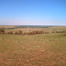
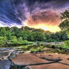
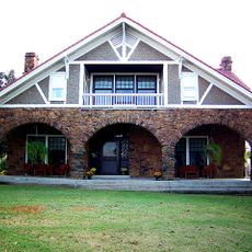
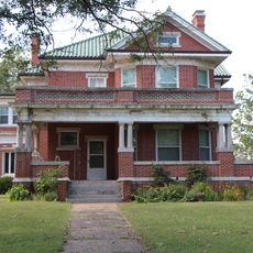
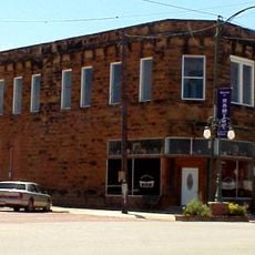
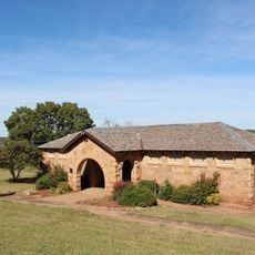
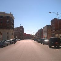
Osage County is an administrative area in northeastern Oklahoma marked by open grassland, gentle hills, and scattered stands of trees. Pawhuska serves as the seat, while smaller towns and ranches dot the sprawling territory.

History

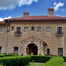
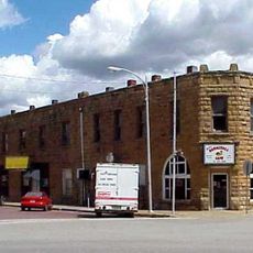
The area became a county when Oklahoma formed, incorporating land that had belonged to the Osage people. Oil discoveries in the following decades reshaped the economy and the daily lives of residents.

Culture

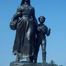
Place names across the area reflect Osage heritage, and many residents today speak the language and follow traditions passed down through generations. On weekends, dance gatherings and community meetings take place where visitors can witness the living connection to tribal life.

Practical

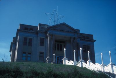
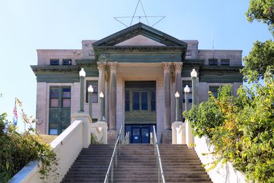
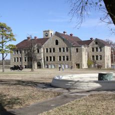
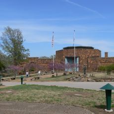
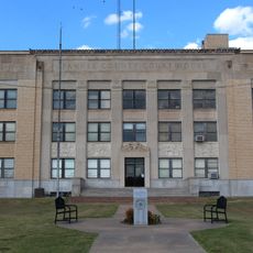
Visitors will find public offices in Pawhuska where services such as vehicle registration and property records are handled. The wide distances between towns require a car and enough time to cover the roads.

Did you know?

This county overlaps entirely with the reservation of the Osage Nation, creating a situation where two legal systems operate side by side. The arrangement allows both state and tribal laws to apply within the same borders.

Location
Inception
1907
Capital city
Pawhuska
Shares border with
Chautauqua County, Pawnee County, Washington County, Tulsa County, Cowley County, Kay County, Noble County
GPS coordinates
36.63000,-96.40000
Latest update
December 13, 2025 18:47

AroundUs brings together thousands of curated places, local tips, and hidden gems, enriched daily by 60,000 contributors worldwide. Discover all places nearby (Oklahoma).

Around this place
Pioneer Woman
United States of America

Pioneer Woman

60.1 km
Gilcrease Museum
United States of America

Gilcrease Museum

61 km
Chilocco Indian Agricultural School
United States of America

Chilocco Indian Agricultural School

71.1 km
E. W. Marland Mansion
United States of America

E. W. Marland Mansion

59.8 km
Tallgrass Prairie Preserve
United States of America

Tallgrass Prairie Preserve

23.7 km
Woolaroc
United States of America

Woolaroc

26.2 km
Kaw Lake
United States of America

Kaw Lake

41.7 km
Fred and Adeline Drummond House
United States of America

Fred and Adeline Drummond House

23.6 km
Osage Hills State Park
United States of America

Osage Hills State Park

23.3 km
Hulah Lake
United States of America

Hulah Lake

43.7 km
Pawnee Bill Ranch
United States of America

Pawnee Bill Ranch

50.1 km
United States of America

The American

56.6 km
United States of America

Osage Nation Museum

6.8 km
United States of America

Sooner Lake

60.6 km
Mullendore Mansion
United States of America

Mullendore Mansion

35.1 km
Pawnee Agency and Boarding School Historic District
United States of America

Pawnee Agency and Boarding School Historic District

47.9 km
United States of America

Tulsa Botanic Garden

55.9 km
United States of America

Walnut Creek State Park

44.1 km
United States of America

Lone Chimney Lake

58.3 km
Bank of Bigheart
United States of America

Bank of Bigheart

22.6 km
United States of America

Corliss Steam Engine

47.3 km
United States of America

Wah-Sha-She State Park

42.5 km
United States of America

Lakeside Golf Course

78.1 km
United States of America

Cann Memorial Botanical Gardens

60 km
Bank of Hominy
United States of America

Bank of Hominy

23.9 km
Pawnee Municipal Swimming Pool and Bathhouse
United States of America

Pawnee Municipal Swimming Pool and Bathhouse

47.4 km
Pawnee County Courthouse
United States of America

Pawnee County Courthouse

48.5 km
United States of America

Bank of Burbank

30.1 km
Show the full map
Administrative divisions
« Osage County - Administrative county in northeastern Oklahoma, United States » is provided by Around Us (aroundus.com). Images and texts are derived from Wikimedia project under a Creative Commons license. You are allowed to copy, distribute, and modify copies of this page, under the conditions set by the license, as long as this note is clearly visible.

Discover hidden gems everywhere you go!

From secret cafés to breathtaking viewpoints, skip the crowded tourist spots and find places that match your style. Our app makes it easy with voice search, smart filtering, route optimization, and insider tips from travelers worldwide. Download now for the complete mobile experience.

Around Us App Screenshot

A unique approach to discovering new places

Le Figaro

All the places worth exploring

France Info

A tailor-made excursion in just a few clicks

20 Minutes

Around Us
Travel Guide & Maps
Download

Send to your phone

QR Code
1

Open the camera app on your mobile.

2

Point at the QR code with your camera. A notification will appear.

3

Tap the notification to open the link.