
Temburong District, Administrative district in eastern Brunei.
Temburong District spans 1,306 square kilometers of land, featuring dense rainforest areas and the prominent Bukit Pagon mountain reaching 1,850 meters in elevation.
The district formation occurred in 1890 when Sarawak annexed the Limbang River area, creating this separate territory from mainland Brunei.
The population of 9,444 residents maintains traditional practices through five administrative divisions called mukims, each governed by a local Penghulu leader.
The Sultan Haji Omar Ali Saifuddien Bridge connects Temburong to mainland Brunei, reducing travel time for residents and visitors crossing the Malaysian territory.
The district contains extensive gravel reserves that supply construction materials, while its prawn farms along Temburong River contribute to local aquaculture production.
Location: Brunei
Capital city: Bangar Town
Elevation above the sea: 121 m
Part of: Southeast Asia, Muslim Southeast Asia, Maritime Southeast Asia, district of Brunei
Shares border with: Limbang District, Lawas District
Website: http://temburong.gov.bn
GPS coordinates: 4.58333,115.16667
Latest update: March 5, 2025 02:18
Istana Nurul Iman
42.2 km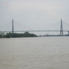
Sultan Haji Omar Ali Saifuddien Bridge
35 km
Omar Ali Saifuddien Mosque
42.4 km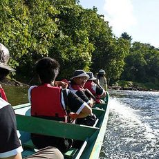
Ulu Temburong National Park
12.6 km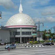
Royal Regalia Museum
42.6 km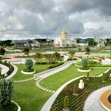
Taman Mahkota Jubli Emas
42.4 km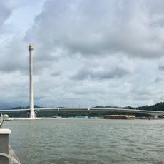
Raja Isteri Pengiran Anak Hajah Saleha Bridge
40.9 km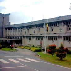
Brunei Museum
40.1 km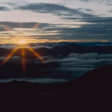
Bukit Pagon
36.4 km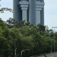
Ministry of Finance Building, Brunei
44.5 km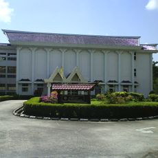
Malay Technology Museum
39.9 km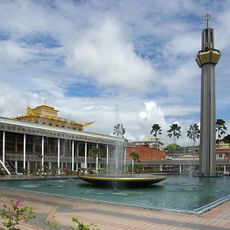
Lapau
42.4 km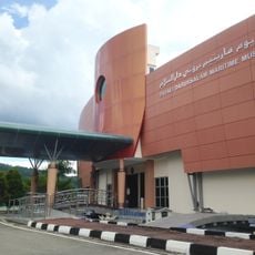
Brunei Darussalam Maritime Museum
39.8 km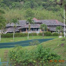
Bubungan Dua Belas
40.5 km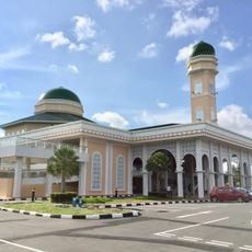
Hassanal Bolkiah Mosque
45.3 km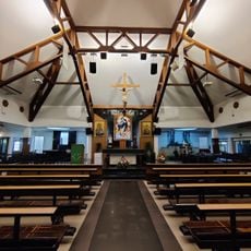
Pro-Cathedral of Our Lady of the Assumption
42.9 km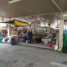
Kianggeh Market
42.1 km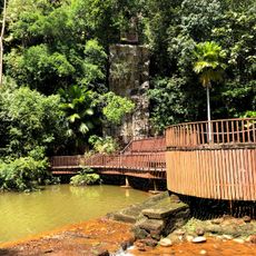
Taman Peraginan Tasek Lama
43.2 km
Mercu Dirgahayu 60
42 km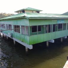
Balai Ibadat Kampong Peramu
41.5 km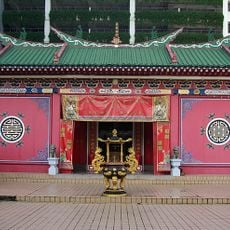
Teng Yun Temple
42.2 km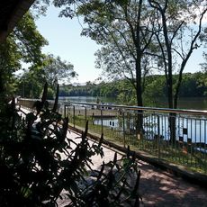
Damuan Recreational Park
42.6 km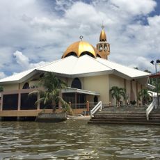
Al-Muhtadee Billah Mosque
41.2 km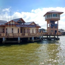
Kampong Ayer Cultural and Tourism Gallery
41.6 km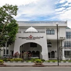
Brunei History Centre
42.5 km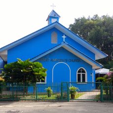
St. Andrew's Church
42.9 km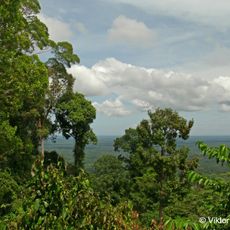
Bukit Patoi
18.6 km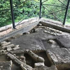
Kota Batu Archaeological Park
40.1 kmReviews
Visited this place? Tap the stars to rate it and share your experience / photos with the community! Try now! You can cancel it anytime.
Discover hidden gems everywhere you go!
From secret cafés to breathtaking viewpoints, skip the crowded tourist spots and find places that match your style. Our app makes it easy with voice search, smart filtering, route optimization, and insider tips from travelers worldwide. Download now for the complete mobile experience.

A unique approach to discovering new places❞
— Le Figaro
All the places worth exploring❞
— France Info
A tailor-made excursion in just a few clicks❞
— 20 Minutes