Jelep La, Mountain pass between Sikkim, India and Tibet Autonomous Region, China
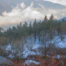
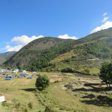
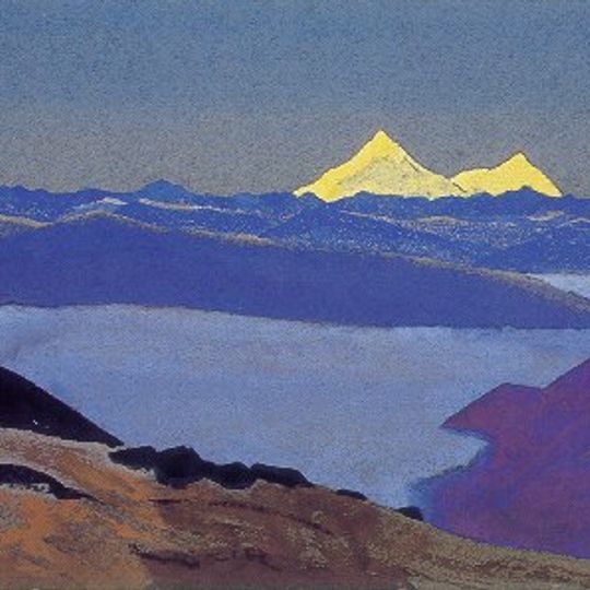
Jelep La is a mountain pass at 14,390 feet (4,390 m) between Sikkim, India and the Tibet Autonomous Region, China. It lies about 4 km south of Nathu La and slightly higher. The pass forms a low point in a ridge of dark blue mountains, with a snow-covered triangular summit behind and a wide valley filled with pale blue water or haze in the foreground. Menmecho Lake lies below the pass.
The pass served as a major trade route between India and Tibet until the Sino-Indian border conflict in 1962 led to its closure. This interruption ended centuries of commercial exchange that had flowed through this mountain corridor.
The Tibetan name is rendered rdzi li la in Wylie, which scholar Alex McKay reads as "shepherd's bronze pass". The Bengal District Gazetteer instead glosses Jelep-la as "the lovely level pass", calling it the easiest and most level of the passes between Tibet and Sikkim. In Tibetan, la simply means pass, so "Jelep La pass" repeats the word.
The pass lies on the border between Sikkim, India, and Tibet, China, about 4 km south of Nathu La. From the Indian side, two approach routes exist: one via Gangtok through Sherathang, Changu Lake, and Kupup, and another via Kalimpong through Rongli, Rhenock, Pedong, and Algarah. The Kalimpong route passes through rhododendron forests that bloom in spring. The pass leads to the Chumbi Valley on the Tibetan side.
The 13th Dalai Lama fled through Jelep La in 1910 with six ministers and a small escort, including his aide Tsarong Dzasa, reaching Sikkim and Darjeeling. The Menmecho Lake lies on the Indian side below the pass.
The community of curious travelers
AroundUs brings together thousands of curated places, local tips, and hidden gems, enriched daily by 92,942 contributors worldwide.