Lumang Gewog, gewog in Trashigang District, Bhutan
Location: Trashigang District
Elevation above the sea: 1,611 m
GPS coordinates: 27.12827,91.53658
Latest update: April 16, 2025 04:16
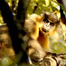
Manas National Park
75.4 km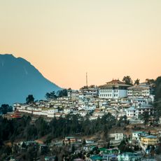
Tawang Monastery
60.1 km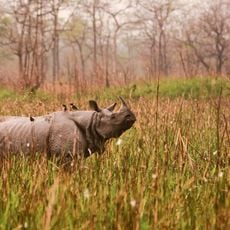
Orang National Park
100.1 km
Umananda Temple
105.8 km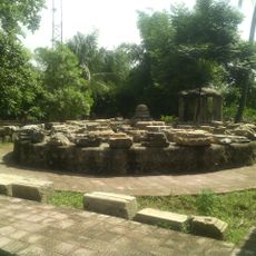
Madan Kamdev
92.3 km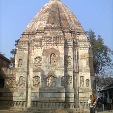
Hayagriva Madhava Temple
98.7 km
Royal Manas National Park
74.5 km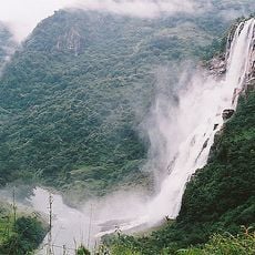
Nuranang Falls
67.8 km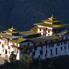
Trashigang Dzong
23.3 km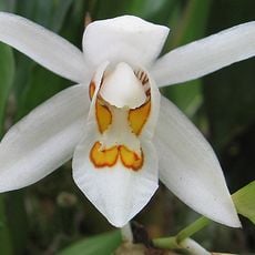
Sessa Orchid Sanctuary
95.8 km
Doul Govinda Temple
103.6 km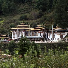
Kurjey Lhakhang
99 km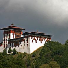
Jakar Dzong
91.3 km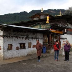
Tamshing Lhakhang
94.1 km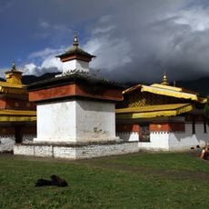
Jambay Lhakhang
93.7 km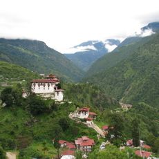
Lhuentse Dzong
69.5 km
Bagheswari Temple, Bongaigaon
73.4 km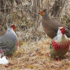
Phrumsengla National Park
57.9 km
Bhangagarh
52.2 km
Bomdila Monastery
88.8 km
Kongchogsaum Lhakhang
93.8 km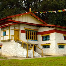
Urgelling Monastery
60.7 km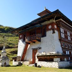
Yagang Lhakhang
68.1 km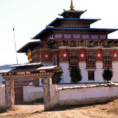
Ura Monastery
73.7 km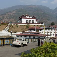
Oesel Choeling Monastery
29.2 km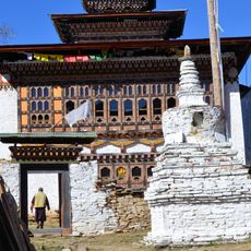
Sumtrhang Monastery
73.3 km
Santuário de Fauna de Manas
67.4 km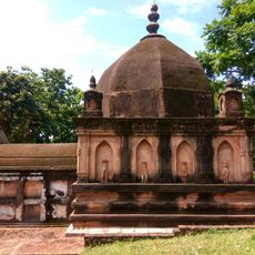
Sri Kameswar Temple
99.4 kmReviews
Visited this place? Tap the stars to rate it and share your experience / photos with the community! Try now! You can cancel it anytime.
Discover hidden gems everywhere you go!
From secret cafés to breathtaking viewpoints, skip the crowded tourist spots and find places that match your style. Our app makes it easy with voice search, smart filtering, route optimization, and insider tips from travelers worldwide. Download now for the complete mobile experience.

A unique approach to discovering new places❞
— Le Figaro
All the places worth exploring❞
— France Info
A tailor-made excursion in just a few clicks❞
— 20 Minutes