Pangolākha, bergtop in Bhutan
Location: Bhutan
Elevation above the sea: 2,757 m
GPS coordinates: 27.20000,88.78333
Latest update: April 13, 2025 20:14
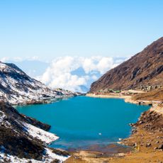
Lake Tsongmo
19.6 km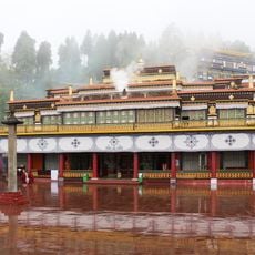
Rumtek Monastery
24.1 km
Neora Valley National Park
17.6 km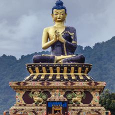
Buddha Park of Ravangla
43.4 km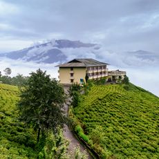
Temi Tea Garden
36.6 km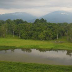
Chapramari Wildlife Sanctuary
36.9 km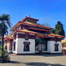
Enchey Monastery
22 km
Kirateshwar Mahadev Temple
43.1 km
Tashiding Monastery
34.7 km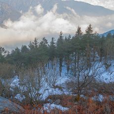
Pangolakha Wildlife Sanctuary
15.8 km
Banjhakri falls and park
24.5 km
Do-drul Chorten
21.7 km
Paljor Stadium
22.6 km
Fambong Lho Wildlife Sanctuary
27.6 km
Gipmochi
14.2 km
Namgyal Institute of Tibetology
21.8 km
Phodong Monastery
34.7 km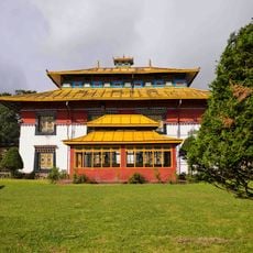
Tsuklakhang monastery
21.8 km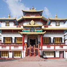
Zang Dhok Palri Phodang
36.7 km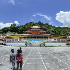
Lingdum Monastery
24.9 km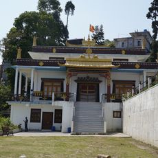
Gaden Tharpa Choling Monastery
32.7 km
Shri Viswa Vinayaka Mandir Rhenock
14.6 km
Tendong Gumpa
37.2 km
Phensang Monastery
29.9 km
Torsa Strict Nature Reserve
31.2 km
Dungkar monastery
39.6 km
Takshang
14.9 km
Gouripur House
35.5 kmReviews
Visited this place? Tap the stars to rate it and share your experience / photos with the community! Try now! You can cancel it anytime.
Discover hidden gems everywhere you go!
From secret cafés to breathtaking viewpoints, skip the crowded tourist spots and find places that match your style. Our app makes it easy with voice search, smart filtering, route optimization, and insider tips from travelers worldwide. Download now for the complete mobile experience.

A unique approach to discovering new places❞
— Le Figaro
All the places worth exploring❞
— France Info
A tailor-made excursion in just a few clicks❞
— 20 Minutes