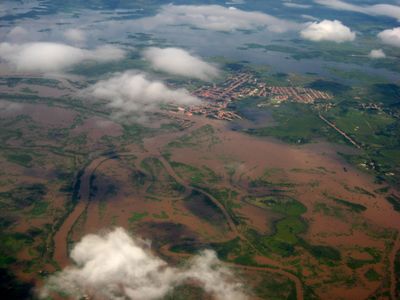
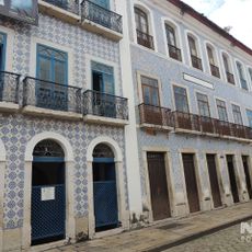
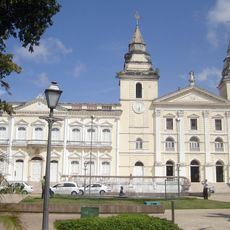
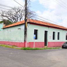
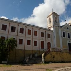
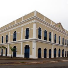
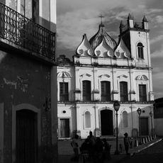
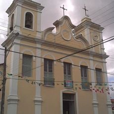
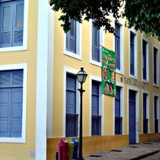
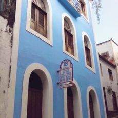
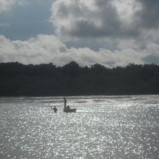
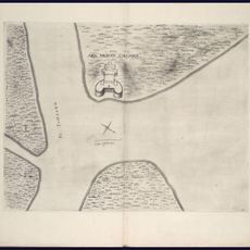
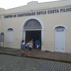
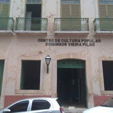
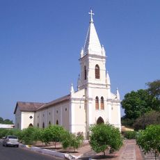
Pindaré-Mirim, human settlement in Brazil
Location: Maranhão
Elevation above the sea: 24 m
Shares border with: Bom Jardim, Monção, Santa Inês, Tufilândia
GPS coordinates: -3.60778,-45.34278
Latest update: March 4, 2025 13:04
Palace of the Lions
166.5 km
Historic Centre of São Luís
166.6 km
Catedral de São Luís
166.6 km
Casa das Minas
166.3 km
Government of Maranhão
166.5 km
Convent of Mercy
166.2 km
Museu do Reggae do Maranhão
166.3 km
Palácio de la Ravardière
166.6 km
Praça Benedito Leite
166.4 km
Convento e Igreja de Nossa Senhora do Carmo
166.6 km
Maranhao's House
166.3 km
Museu de Arte Sacra (São Luís)
166.5 km
Cujupe
152.9 km
Church of Saint Joseph of the Exile
166.1 km
Bacanga State Park
164 km
Igreja de São Pantaleão
166.6 km
Teatro João do Vale
166.4 km
Gurupi Biological Reserve
157.1 km
Huguenot House of Culture Daniel de La Touché
166.5 km
Baixada Maranhense Environmental Protection Area
103.5 km
Museu Casa de Nhozinho
166.4 km
Centro Cultural Vale Maranhão
166.1 km
Forte da Vera Cruz do Itapecuru
148.8 km
Centro de Criatividade Odylo Costa Filho
166.3 km
Centro de Cultura Popular Domingos Vieira Filho
166.4 km
St. Therese Cathedral, Bacabal
93.5 km
House of Drum of Crioula do Maranhão
166.2 km
Centro Cultural Mestre Amaral
166.6 kmVisited this place? Tap the stars to rate it and share your experience / photos with the community! Try now! You can cancel it anytime.
Discover hidden gems everywhere you go!
From secret cafés to breathtaking viewpoints, skip the crowded tourist spots and find places that match your style. Our app makes it easy with voice search, smart filtering, route optimization, and insider tips from travelers worldwide. Download now for the complete mobile experience.
A unique approach to discovering new places❞
— Le Figaro
All the places worth exploring❞
— France Info
A tailor-made excursion in just a few clicks❞
— 20 Minutes