
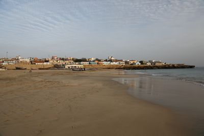
Porto Inglês, human settlement
Location: Maio
Elevation above the sea: 4 m
GPS coordinates: 15.13750,-23.20833
Latest update: March 8, 2025 12:25
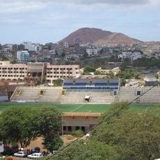
Estádio da Várzea
40.9 km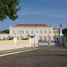
Palácio Presidencial
40.6 km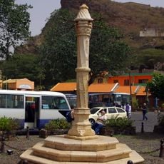
Pelourinho
49.3 km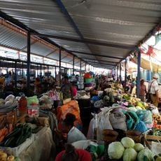
Mercado de Sucupira
40.3 km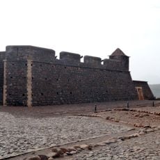
Fort Real de São Filipe
48.9 km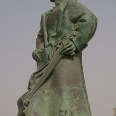
Monumento de Diogo Gomes
40.7 km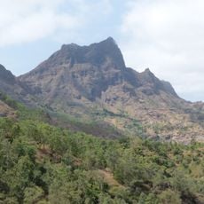
Pico da Antónia
46.9 km
Salinas of the English Port
2.6 km
Liceu Domingos Ramos
39.9 km
National Library of Cape Verde
40.9 km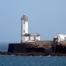
Farol de D. Maria Pia
41.7 km
Gimnodesportivo Vava Duarte
41.2 km
Jardim Botânico
43.6 km
Museu Etnográfico da Praia
40.2 km
Forte de São José
723 m
Terras Salgadas
17.2 km
Museu da Tabanka
49.5 km
Monte Batalhas
7.6 km
National Botanical Garden of Grandvaux Barbosa
43.5 km
Avenida Charles Darwin
40.1 km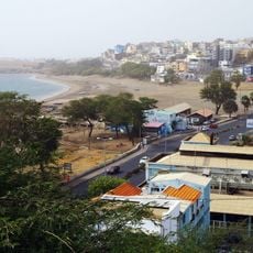
Avenida Combatentes da Liberdade da Patria
40.2 km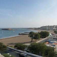
Rampa São Januário
40.7 km
Rua Patrice Lumumba
40.5 km
Palacio da Cultura Ildo Lobo
40.6 km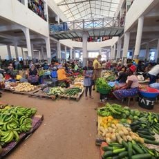
Assomada market
49.5 km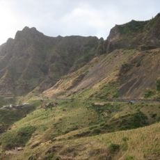
Serra Malagueta Natural Park
51.2 km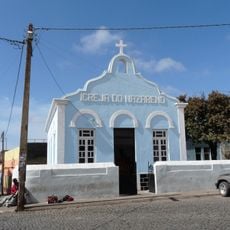
Igreja do Nazareno, Assomada
49.7 km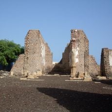
Sé Catedral (Cidade Velha)
49.3 kmReviews
Visited this place? Tap the stars to rate it and share your experience / photos with the community! Try now! You can cancel it anytime.
Discover hidden gems everywhere you go!
From secret cafés to breathtaking viewpoints, skip the crowded tourist spots and find places that match your style. Our app makes it easy with voice search, smart filtering, route optimization, and insider tips from travelers worldwide. Download now for the complete mobile experience.

A unique approach to discovering new places❞
— Le Figaro
All the places worth exploring❞
— France Info
A tailor-made excursion in just a few clicks❞
— 20 Minutes