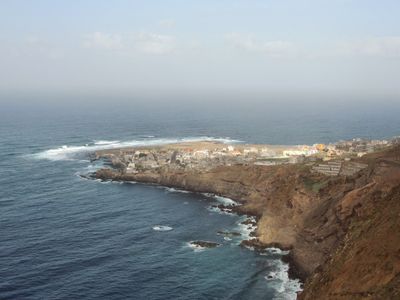
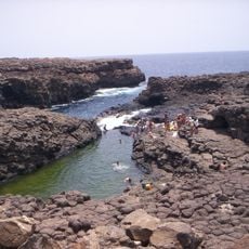
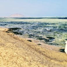
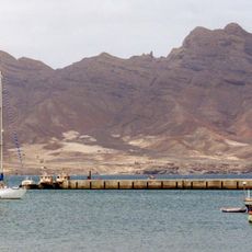
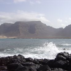
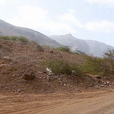
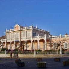
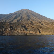
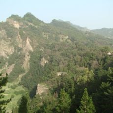
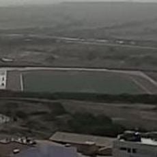
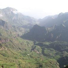
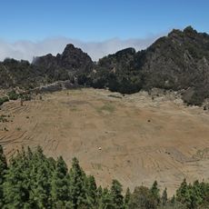
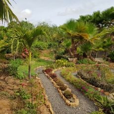
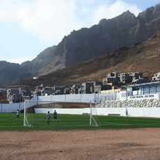
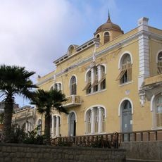
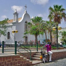
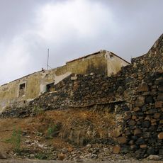
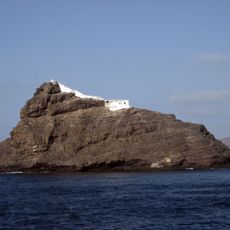
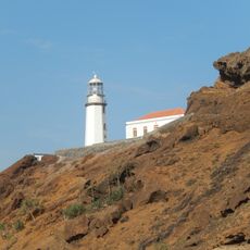
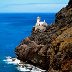
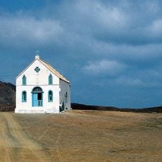
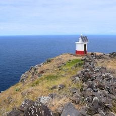
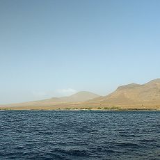
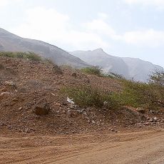
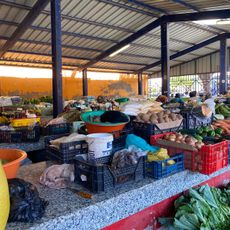
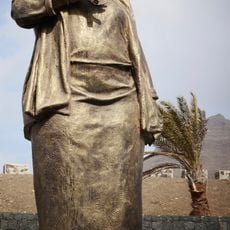
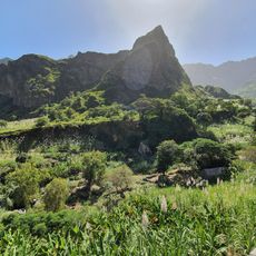
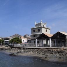
Ponta do Sol, human settlement in Santo Antão, Cape Verde
Location: Ribeira Grande
Elevation above the sea: 49 m
GPS coordinates: 17.20176,-25.09145
Latest update: March 4, 2025 15:29
Buracona
228 km
Shark Bay
239.7 km
Monte Cara
36.9 km
Monte Verde, Cape Verde
40.6 km
Monte Gordo
101.6 km
Palácio do Povo
36.8 km
Topo da Coroa
28.6 km
Pico da Cruz
12.7 km
Estádio Marcelo Leitão
234.6 km
Cova-Ribeira da Torre-Paul Natural Park
11.2 km
Cova
10.9 km
Pachamama eco-cafe & park/Jardim Botânico Viveiro
240.2 km
Estádio João Serra
292 m
Escola Jorge Barbosa
36.8 km
Pro-Cathedral of Our Lady of the Light, Mindelo
36.9 km
Fortim d'El-Rei
36.2 km
Don Luis Lighthouse
33.5 km
Farol de Fontes Pereira de Melo
16.1 km
Farol de D. Amélia
41.8 km
Farol de Pedra de Lume
239.1 km
Farol da Ponta Norte
234.2 km
Farol do Barril
97.7 km
Central mountain range of Ilha de São Nicolau Important Bird Area
100 km
Mercado Municipal
36.8 km
Cesária Évora
41.2 km
Cine Eden Park
36.5 km
Torre de Belém
37 km
Vale do Paúl
10.3 kmReviews
Visited this place? Tap the stars to rate it and share your experience / photos with the community! Try now! You can cancel it anytime.
Discover hidden gems everywhere you go!
From secret cafés to breathtaking viewpoints, skip the crowded tourist spots and find places that match your style. Our app makes it easy with voice search, smart filtering, route optimization, and insider tips from travelers worldwide. Download now for the complete mobile experience.
A unique approach to discovering new places❞
— Le Figaro
All the places worth exploring❞
— France Info
A tailor-made excursion in just a few clicks❞
— 20 Minutes