Extreme points of Northern Cyprus, Geographical borders in North Cyprus, Mediterranean region.
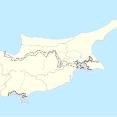
The extreme points of Northern Cyprus form a system of outlying islands, capes, and peninsulas that define the territory's boundaries. The Klidhes Islands to the northeast, Cape Apostolos Andreas on the Karpass Peninsula, and Cape Arnauti to the west mark these outermost reaches, while an interior mountain range establishes the southern limits.
The outer boundaries took their current form in 1974 following geopolitical changes that reshaped the island. The Karpass Peninsula became a defining element during this period, extending like a finger into the northeast and remaining a significant geographical feature ever since.
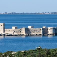
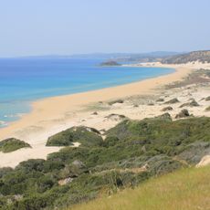
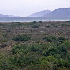
The capes and peninsulas serve as reference points in local conversations and guide how people think about their territory's shape and limits. Coastal areas remain connected to fishing traditions and small-scale maritime activities that still shape daily rhythms.
The northernmost points are most easily reached by boat from local harbors, since the outlying islands and distant capes lack easy road access. The Karpass Peninsula offers access by road, though paths can become difficult during heavy rains.
The Klidhes Islands are easy to overlook since they are barely visible to the naked eye from the mainland, yet they mark the absolute northernmost point of the territory. Most travelers focus on Cape Apostolos Andreas and never realize these small outcrops exist just beyond it.
The community of curious travelers
AroundUs brings together thousands of curated places, local tips, and hidden gems, enriched daily by 60,000 contributors worldwide.