Mount Sinabung, Stratovolcano in North Sumatra, Indonesia
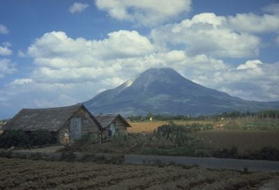
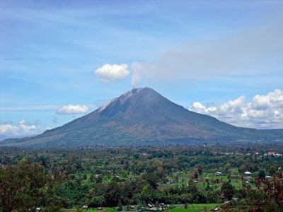
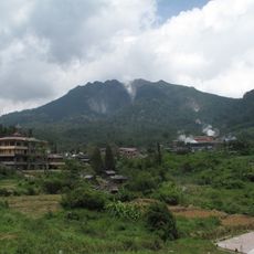
Mount Sinabung is a stratovolcano in North Sumatra, Indonesia, rising 2,460 meters above sea level and composed of alternating layers of andesite lava, ash, and volcanic debris. Its steep flanks carry barren patches where fresh deposits have replaced older vegetated zones, and its summit crater often shows fumaroles and plumes of smoke.
The volcano remained inactive for 400 years until it erupted in 2010, forcing tens of thousands of people to flee. Eruptions continued with varying intensity, shaping life in the region ever since through repeated evacuations and ash falls.
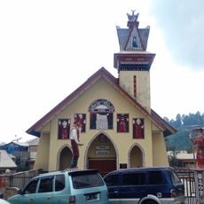
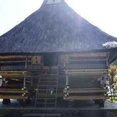
Karo communities have grown coffee, vegetables, and rice in the mineral-rich soils near the base for generations. Their villages carry names that reflect the mountain's power, and many residents return to their homes despite repeated eruptions.
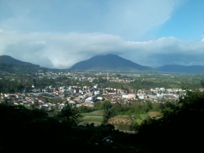
Visitors need a permit from local authorities and must check current activity reports before approaching designated observation points. The safest viewpoints are several kilometers from the summit, toward the towns of Berastagi or Kabanjahe.
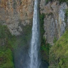
Pyroclastic flows at Sinabung can reach speeds exceeding 700 kilometers per hour (435 miles per hour) and blanket entire slopes in seconds. These glowing avalanches of gas, ash, and rock account for much of the danger zone around the crater.
The community of curious travelers
AroundUs brings together thousands of curated places, local tips, and hidden gems, enriched daily by 60,000 contributors worldwide.