Enable Location

We need your location to show you interesting places around you

Discover nearby places

Find interesting locations and hidden gems around you

Precise directions

Get accurate directions and distances to places

Your location is never shared with other users. It's only used when you tap the location button.

Mount Tabac

Log in to your account

Start exploring — it's free

Trusted by 63,420 travelers worldwide

Continue with Google
Continue with Apple
or

We will send you a code to connect

By continuing, you accept our Terms and Conditions and our Privacy Policy

Check your inbox

We've sent a pincode in your inbox. Please enter the code below.

Mount Tabac
Discussion Reviews 1 Photos 1 Collections
600+ Popularity

Mount Tabac, Mountain in Soufrière Quarter, Saint Lucia.

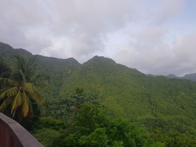
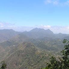
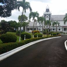
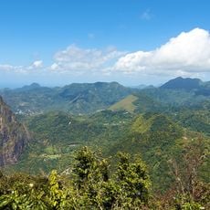
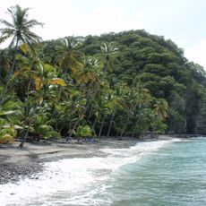
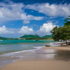
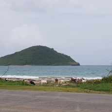
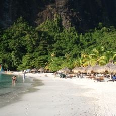
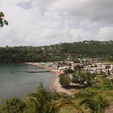
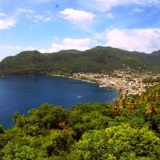
Mount Tabac rises to about 720 meters and is part of the natural landscape in the Soufrière region of southwestern Saint Lucia. It shapes the profile of the surrounding lowlands and sits near plantations and the Diamond Botanic Garden.

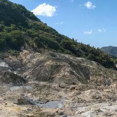
The mountain was documented in modern mapping efforts and forms part of the island's recorded topographic features. Its role lies more in the geological structure than in well-known historical events.

The mountain's name reflects the shared colonial past when both English and French shaped the island. This linguistic mixing appears throughout the region in place names and local speech.

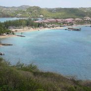
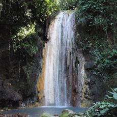
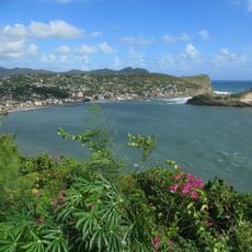
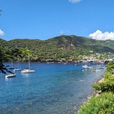
The mountain lies southwest of Castries near Anse Mamin and is best explored from its base. The area is most easily accessed by using the coastal routes that run through the region's plantations.

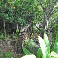
The mountain shares the landscape with working estates like Espérance and Venus that have been active for generations. This mix shows how natural features and agricultural use have always been connected here.

The community of curious travelers

AroundUs brings together thousands of curated places, local tips, and hidden gems, enriched daily by 60,000 contributors worldwide.

Start exploring
Elevation above the sea
720 m
GPS coordinates
13.87000,-61.04000
Latest update
December 6, 2025 17:48
Photo locations in Saint Lucia

Saint Lucia combines volcanic landforms with tropical rainforest and coastal stretches shaped by both Atlantic and Caribbean waters. The island ranges from sea level to peaks reaching nearly 1,000 meters (3,280 feet), creating varied environments for photography. You will find subjects that include...

Reviews
Share your experience

No review yet

Discussions
Start a discussion...

No discussion yet

« Mount Tabac - Mountain in Soufrière Quarter, Saint Lucia » is provided by Around Us (aroundus.com). Images and texts are derived from Wikimedia project under a Creative Commons license. You are allowed to copy, distribute, and modify copies of this page, under the conditions set by the license, as long as this note is clearly visible.

Discover hidden gems everywhere you go!

From secret cafés to breathtaking viewpoints, skip the crowded tourist spots and find places that match your style. Our app makes it easy with voice search, smart filtering, route optimization, and insider tips from travelers worldwide. Download now for the complete mobile experience.

Around Us App Screenshot

A unique approach to discovering new places

Le Figaro

All the places worth exploring

France Info

A tailor-made excursion in just a few clicks

20 Minutes

Around Us
Travel Guide & Maps
Download

Send to your phone

QR Code
1

Open the camera app on your mobile.

2

Point at the QR code with your camera. A notification will appear.

3

Tap the notification to open the link.