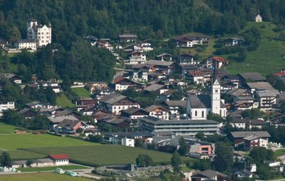
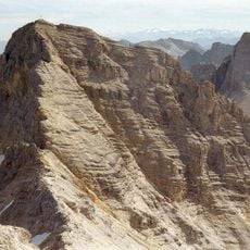
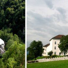
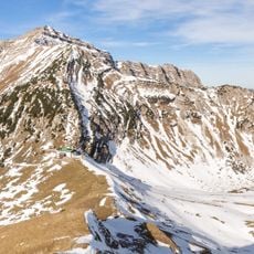
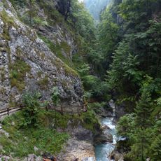
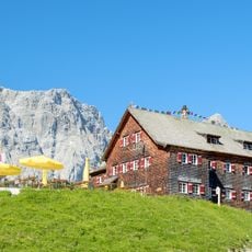
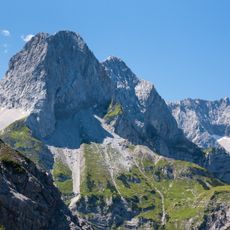
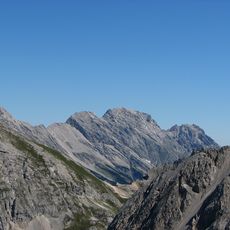
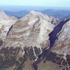
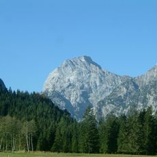
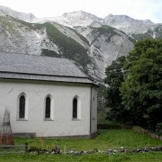
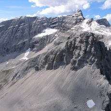
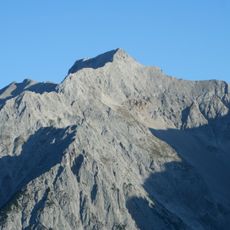
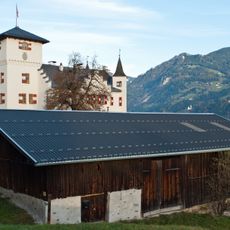
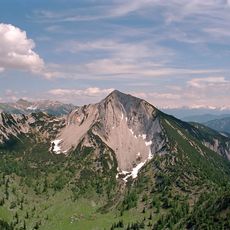
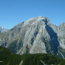
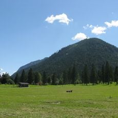
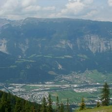
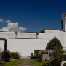
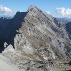
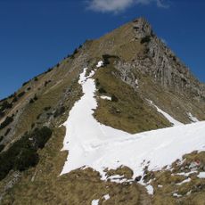
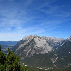
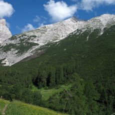
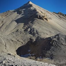
Vomp, municipality in Schwaz District, Tyrol, Austria
Location: Schwaz District
Elevation above the sea: 563 m
Shares border with: Terfens, Gnadenwald, Absam, Scharnitz, Mittenwald, Lenggries, Eben am Achensee, Stans, Schwaz, Pill
Email: gemeinde@vomp.tirol.gv.at
Website: http://vomp.tirol.gv.at
GPS coordinates: 47.34222,11.68333
Latest update: March 3, 2025 23:01
Birkkarspitze
20.1 km
St. Georgenberg-Fiecht Abbey
3.9 km
Schafreuter
23.7 km
Wolfsklamm
3.9 km
Falkenhütte
15.3 km
Lamsenspitze
8.3 km
Großer Bettelwurf
12.3 km
Östliche Karwendelspitze
22.8 km
Laliderer Spitze
14.8 km
Sonnjoch
9.8 km
Sankt Magdalena (Halltal)
14.5 km
Seekarspitze (Vorkarwendel)
15.3 km
Kaltwasserkarspitze
18.8 km
Eiskarlspitze
10.2 km
Schloss Sigmundslust
261 m
Seebergspitze
13.8 km
Gamsjoch
13.4 km
Zwölferkopf
9.5 km
Hundskopf
9.4 km
Lalidererspitzen-Biwak
14.6 km
Stanser Joch
6.5 km
Grubenkarspitze
12.9 km
Filialkirche Vomperbach
2 km
Hochnissl
5.7 km
Fleischbank
19.6 km
Rotwandlspitze
6.8 km
Grosser Lafatscher
17.4 km
Große Seekarspitze
23.1 kmReviews
Visited this place? Tap the stars to rate it and share your experience / photos with the community! Try now! You can cancel it anytime.
Discover hidden gems everywhere you go!
From secret cafés to breathtaking viewpoints, skip the crowded tourist spots and find places that match your style. Our app makes it easy with voice search, smart filtering, route optimization, and insider tips from travelers worldwide. Download now for the complete mobile experience.
A unique approach to discovering new places❞
— Le Figaro
All the places worth exploring❞
— France Info
A tailor-made excursion in just a few clicks❞
— 20 Minutes