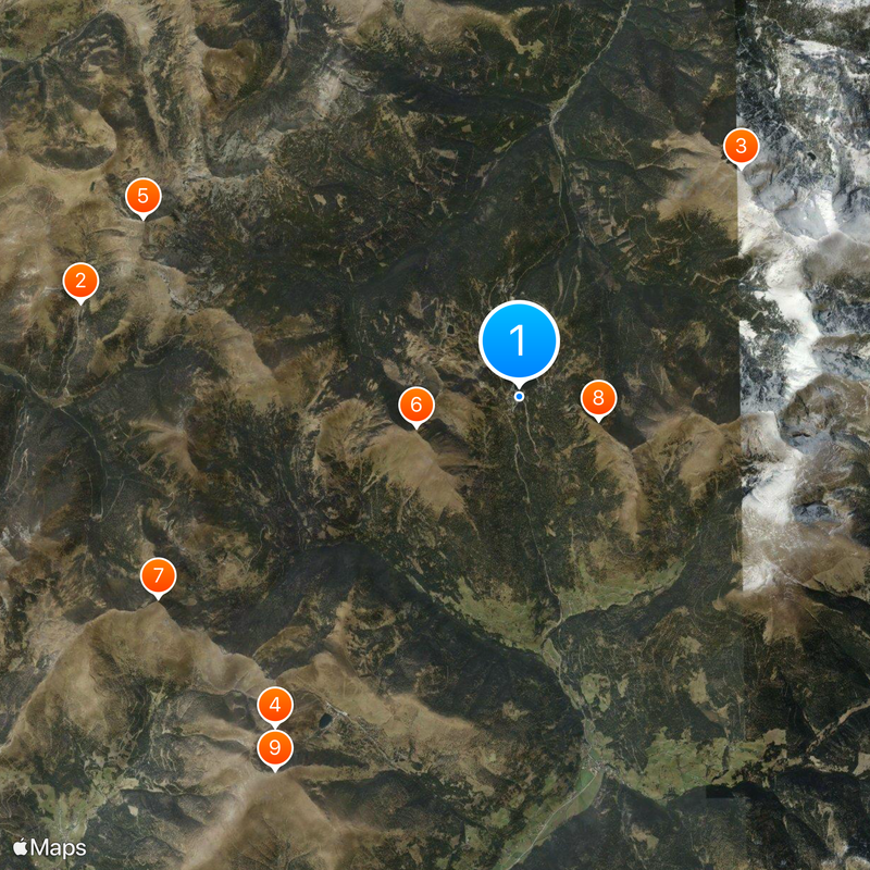
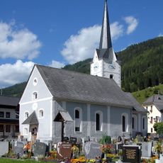
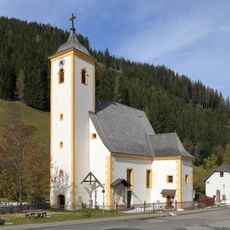
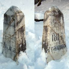
Turracher Höhe Pass, Mountain pass in Reichenau, Austria.
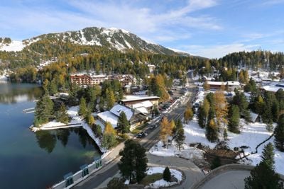
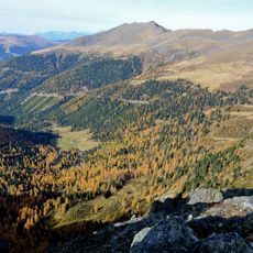
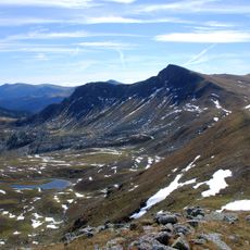
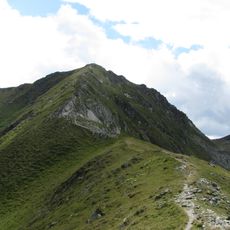
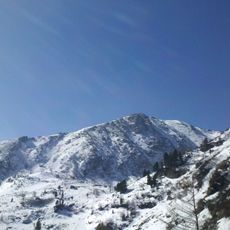
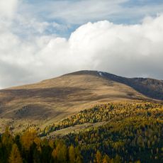
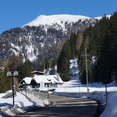
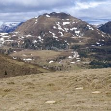
Turracher Höhe Pass sits at 1,795 meters elevation between Carinthia and Styria, connecting the Upper Mura valley with the Upper Gurk valley. The landscape combines mountain lakes, coniferous forests, and open meadows in an alpine setting.
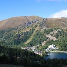
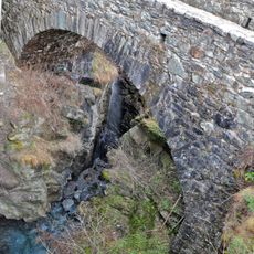
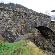
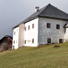
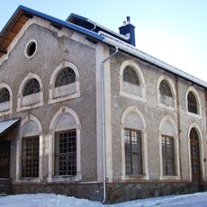
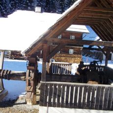
The region gained economic importance from the 17th century onward when mining operations began. In 1660, Count Johann Adolf Schwarzenberg established an iron smelting facility that shaped the area for centuries before gradually declining.
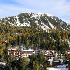
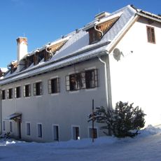
The pass was shaped by mining for centuries before becoming a winter sports center. Today it shows how mountain communities reinvented themselves and found new reasons for people to visit.
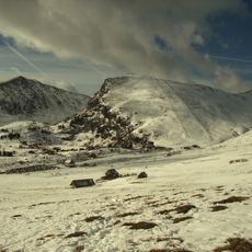
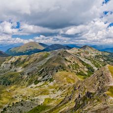
The B95 road climbs steeply on the Carinthian side, and the drive takes around 35 to 45 minutes to cross. The route remains open year-round, though winter visitors should expect snow and icy conditions on the mountain.
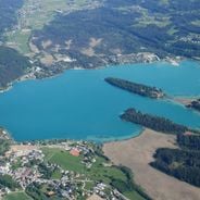
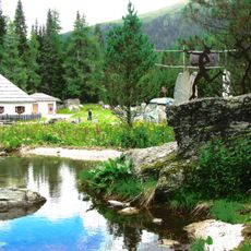
Three mountain lakes sit at different elevations along the pass: Turracher See, Schwarzsee, and Grünsee. Each lake is ringed by stone pine forests and alpine meadows, creating distinct views of the mountain landscape.
The community of curious travelers
AroundUs brings together thousands of curated places, local tips, and hidden gems, enriched daily by 60,000 contributors worldwide.