·

Enable Location

We need your location to show you interesting places around you

Discover nearby places

Find interesting locations and hidden gems around you

Precise directions

Get accurate directions and distances to places

Your location is never shared with other users. It's only used when you tap the location button.

Grenzeckkopf

Log in to your account

Start exploring — it's free

Trusted by 62,670 travelers worldwide

Continue with Google
Continue with Apple
or

We will send you a code to connect

By continuing, you accept our Terms and Conditions and our Privacy Policy

Check your inbox

We've sent a pincode in your inbox. Please enter the code below.

Grenzeckkopf

Grenzeckkopf, Mountain summit in Galtür, Austria

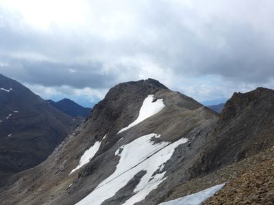
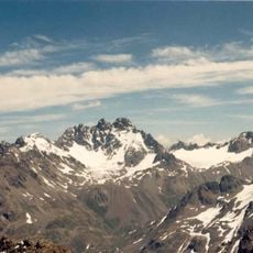
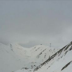
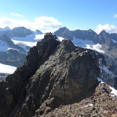
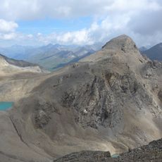
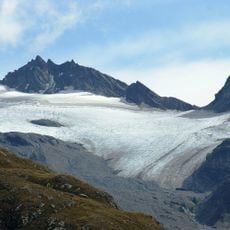
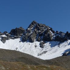
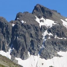
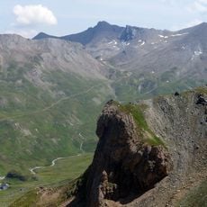
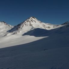
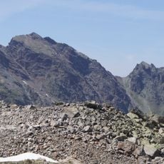
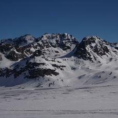
Grenzeckkopf is a mountain peak standing at 3,047 meters on the border between Austrian Tyrol and Swiss Grisons, forming part of the Silvretta range. The summit sits in a high alpine zone with rocky slopes and steep valleys on both the Austrian and Swiss sides.

The peak saw its first recorded ascent in 1849 when surveyors climbed it to gather topographical data for map-making projects. This early expedition was part of systematic efforts to chart the Alpine border regions.

The peak is called Grenzeckkopf on the Austrian side and Piz Faschalba in the Swiss region, reflecting how language changes across the border that runs through this mountain.

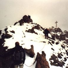
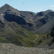
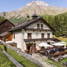
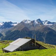
The route from Galtür demands solid endurance and mountain experience due to challenging terrain and significant elevation changes throughout the approach. Summer offers the best conditions for the ascent, when snow and ice are minimal and pathways remain accessible.

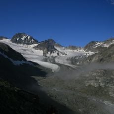
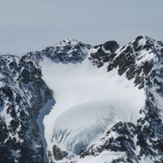
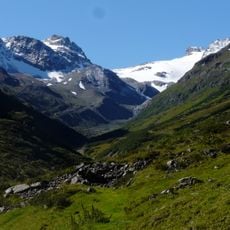
A small glacial lake called Lai da Faschalba sits below the peak and feeds streams that eventually reach the Inn River. This hidden water source often surprises visitors who find it tucked into the alpine landscape.

The community of curious travelers

AroundUs brings together thousands of curated places, local tips, and hidden gems, enriched daily by 60,000 contributors worldwide.

Start exploring
Location
Location
Elevation above the sea
3,047 m
GPS coordinates
46.86632,10.23264
Latest update
December 14, 2025 20:29
« Grenzeckkopf - Mountain summit in Galtür, Austria » is provided by Around Us (aroundus.com). Images and texts are derived from Wikimedia project under a Creative Commons license. You are allowed to copy, distribute, and modify copies of this page, under the conditions set by the license, as long as this note is clearly visible.

Discover hidden gems everywhere you go!

From secret cafés to breathtaking viewpoints, skip the crowded tourist spots and find places that match your style. Our app makes it easy with voice search, smart filtering, route optimization, and insider tips from travelers worldwide. Download now for the complete mobile experience.

Around Us App Screenshot

A unique approach to discovering new places

Le Figaro

All the places worth exploring

France Info

A tailor-made excursion in just a few clicks

20 Minutes

Around Us
Travel Guide & Maps
Download

Send to your phone

QR Code
1

Open the camera app on your mobile.

2

Point at the QR code with your camera. A notification will appear.

3

Tap the notification to open the link.