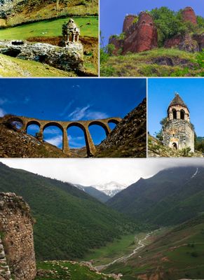
Gadabay District, Administrative district in western Azerbaijan.
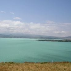
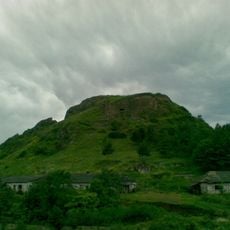
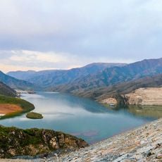
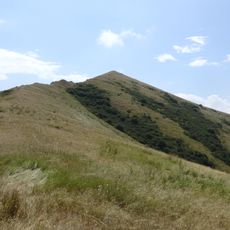
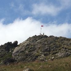
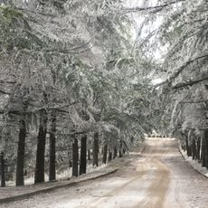
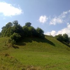
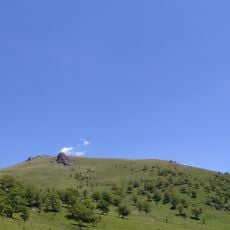
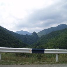
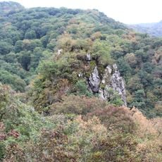
Gadabay is an administrative district in western Azerbaijan that covers mountain terrain across the Lesser Caucasus range, with peaks reaching around 1850 meters. Several rivers including the Akhinja, Zayam, and Shamkir flow through the area, supplying water for farming and local needs.
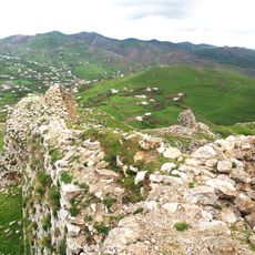
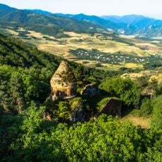
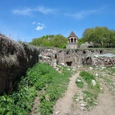
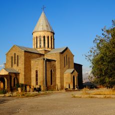
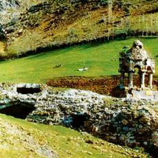
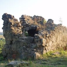
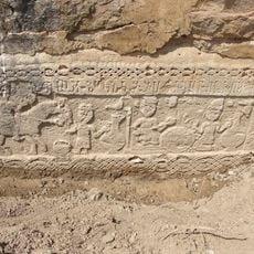
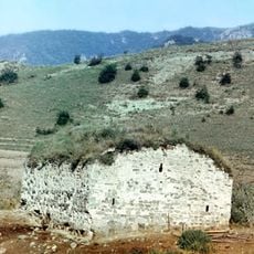
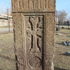
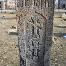
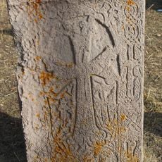
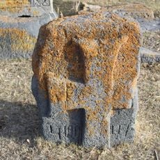
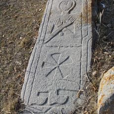
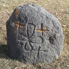
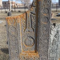
The region was inhabited in ancient times, as shown by archaeological finds from the Khojaly-Gadabay culture dating from the 14th to 8th centuries BC. Industrial activity emerged in the 1800s when copper mining and smelting operations began, transforming the local economy.
Residents practice mountain farming traditions that have shaped life in the district for generations, growing crops and raising livestock on the highland slopes. This way of living remains woven into the rhythm of daily activities and how communities use the land.
The area is accessible only by road and requires a vehicle to navigate the mountainous terrain. Visitors should prepare for cool weather and changing conditions in the highlands, bringing appropriate clothing for altitude and season.
The district sits above significant mineral deposits including gold, uranium, and copper, resources that have shaped its economy since the 1800s. These natural resources attracted industrial facilities and continue to influence how the area develops.
The community of curious travelers
AroundUs brings together thousands of curated places, local tips, and hidden gems, enriched daily by 60,000 contributors worldwide.