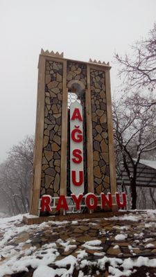
Agsu District, Administrative district in eastern Azerbaijan
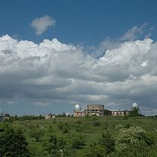
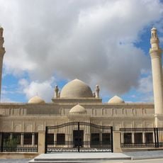
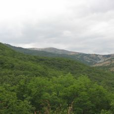
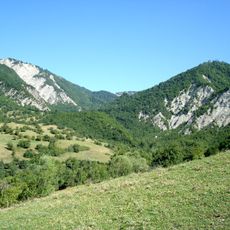
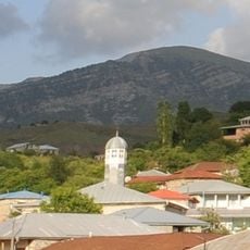
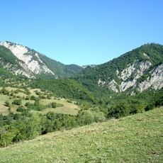
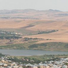
Agsu District spans mountainous land and rolling hills where river valleys alternate with developed areas, containing several villages and settlements focused on farming and livestock activities. The region includes schools, health facilities, markets, and administrative centers that serve the local population.
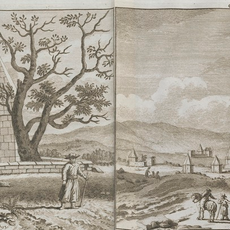
The district was established in 1735 when a major resettlement brought inhabitants to build communities along the Agsu river, marking a turning point in the region's development. This founding shaped how the area grew and how settlements were organized in the centuries that followed.
The district shows traditional ways of living that are visible in its villages and settlements, where local crafts and building styles reflect generations of community life. The everyday rhythm here follows patterns tied to agriculture and pastoral traditions that shape how people use the land.
The area is best accessed on foot or by car, with village roads easier to travel during months with better weather conditions. Visitors can find provisions at local shops and markets, and basic accommodations are available in the main settlements.
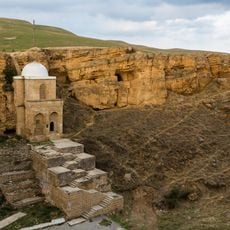
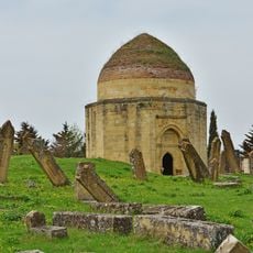
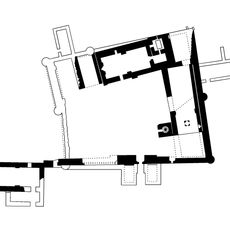
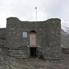
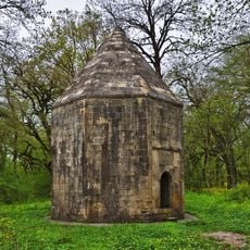
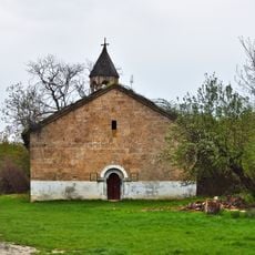
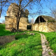
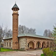
Archaeological finds at the original settlement reveal medieval artifacts including stone sculptures and a 15th-century mausoleum among the ruins. These remains offer a window into the past before the area's modern settlement and show how far back human activity in this location extends.
The community of curious travelers
AroundUs brings together thousands of curated places, local tips, and hidden gems, enriched daily by 60,000 contributors worldwide.