Nagorno-Karabakh, Geographic region in South Caucasus, Azerbaijan
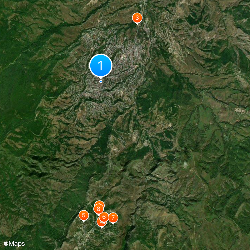
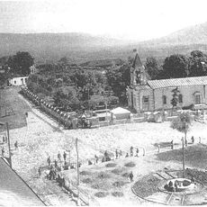
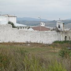
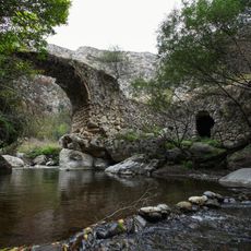
Nagorno-Karabakh is a mountainous territory in the South Caucasus covering around 4,400 square kilometers (1,700 square miles) between the Kura and Aras rivers. Steep slopes, forested valleys, and narrow plateaus shape the landscape, with scattered villages and small towns spread across the ridges.
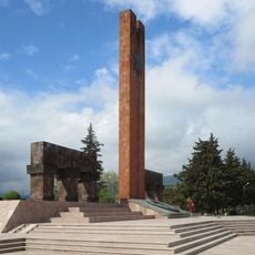
The area was designated as an autonomous oblast within Soviet Azerbaijan in 1920, even though the majority of residents were Armenian at that time. During the collapse of the Soviet Union, an armed conflict broke out that was only resolved definitively in 2023.
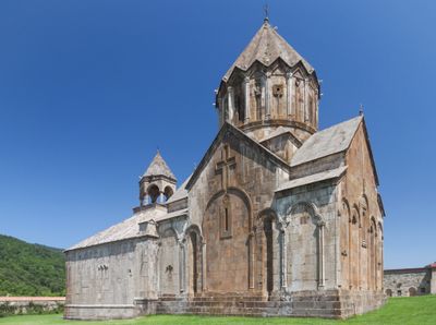
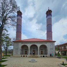
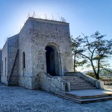
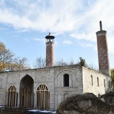
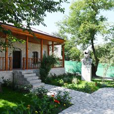
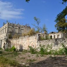
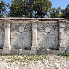
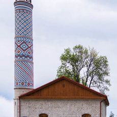
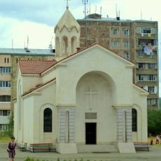
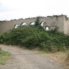
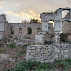
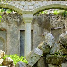
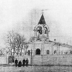
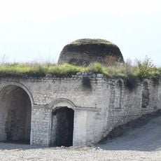
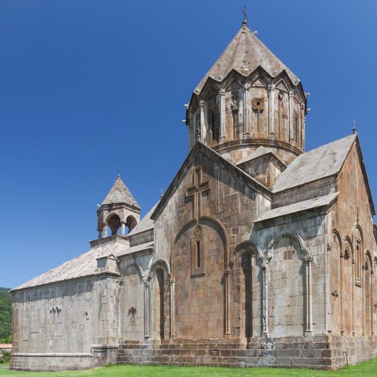
Christian churches from the Middle Ages stand beside Muslim prayer houses and cemeteries built by different communities over centuries. In the villages, families weave carpets, grow grapes, and continue old craft traditions, with language and daily life varying from one settlement to another.
Winter months bring heavy snowfall and low temperatures, while summers are mild and dry. Treks in higher elevations are best attempted in spring or autumn, when the weather is more stable and paths are easier to follow.
The Khari-Bulbul flower grows only in this territory and displays three yellow petals that resemble a singing nightingale. Locals see this plant as a symbol of the natural diversity here and sometimes use it in local crafts.
The community of curious travelers
AroundUs brings together thousands of curated places, local tips, and hidden gems, enriched daily by 60,000 contributors worldwide.