
Zaqatala District, Administrative district in northwestern Azerbaijan.
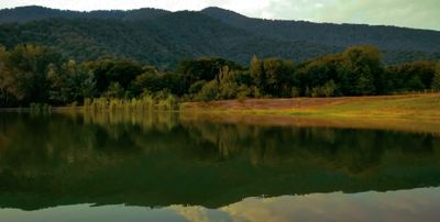
Zaqatala District is an administrative area in northwestern Azerbaijan covering mixed terrain from lowland valleys to mountain slopes. The landscape is shaped by the Ganykh Ayrichay valley running through it and the southern slopes of the Major Caucasus forming its border.
The territory was part of ancient Caucasian Albania before coming under Georgian control during the medieval period. It became part of the Soviet Azerbaijan in the 20th century and has remained so as an administrative district since independence in 1991.
The population includes Azerbaijanis, Avars, Tsakhurs, and Ingiloys living alongside each other, each maintaining their own traditions and customs in daily life. Sunni Islam and Orthodox Christianity shape local practices and the appearance of towns and villages throughout the region.
Two main bus stations serve the area with connections to other regions, while an international airport offers additional travel options. Keep in mind that domestic flights to the capital are currently not operating from this location.
The Zagatala State Reserve, established in 1929, protects rare plant species native to the southern Caucasus slopes and includes three rivers within its boundaries. The reserve safeguards vegetation that survives nowhere else in the surrounding landscape.
Location: Azerbaijan
Inception: August 8, 1930
Capital city: Zagatala
Website: http://zaqatala-ih.gov.az
GPS coordinates: 41.55000,46.71667
Latest update: December 7, 2025 19:30

Lagodekhi Protected Areas
47.1 km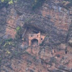
Parigala
6.5 km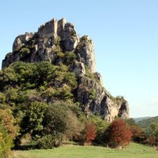
Khornabuji Castle
48.8 km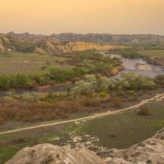
Vashlovani National Park
47.9 km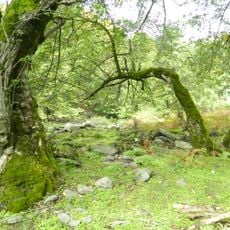
Zagatala State Reserve
29 km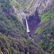
Ilisu State Reserve
23.5 km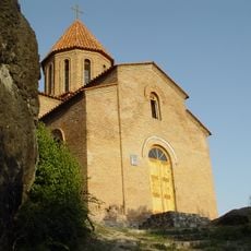
Kurmukhi church
24.7 km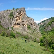
Artsivi (Eagle) Gorge Natural Monument
52.3 km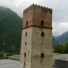
Sumug-gala
29.6 km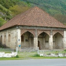
Ulu mosque, İlisu
30.3 km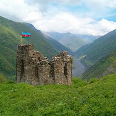
Shamil Qala
31.9 km
Zaqatala City Stadium
11.3 km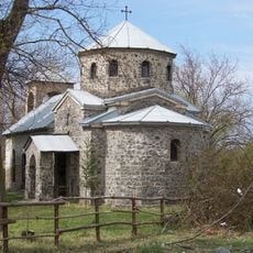
Church of Alibeglo
21.6 km
Lekit church
13.7 km
Basilica in Qum village
19.1 km
St George's Church, Qakh
23.4 km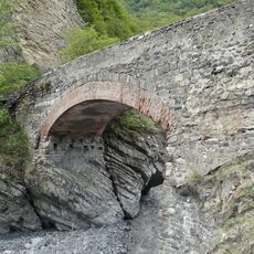
Ulu körpü
27.5 km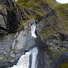
Vodopad Chyrkhalyu
54.2 km
Seven Church monastery complex
14 km
Jinli Qala
28.5 km
Torpaggala
30.7 km
Mamrukh Church
4.9 km
Didnauri
45.5 km
Icheri Bazar
30 km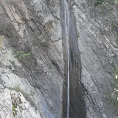
Shahali Waterfall
29.6 km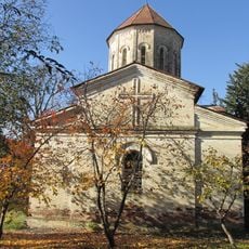
Patara Alaverdi
22.1 km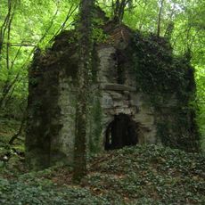
Katekhi Church
17.9 km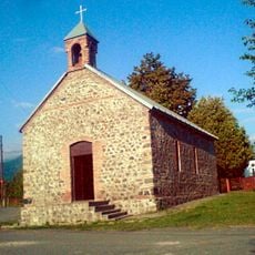
Meshebashi
20.5 kmReviews
Visited this place? Tap the stars to rate it and share your experience / photos with the community! Try now! You can cancel it anytime.
Discover hidden gems everywhere you go!
From secret cafés to breathtaking viewpoints, skip the crowded tourist spots and find places that match your style. Our app makes it easy with voice search, smart filtering, route optimization, and insider tips from travelers worldwide. Download now for the complete mobile experience.

A unique approach to discovering new places❞
— Le Figaro
All the places worth exploring❞
— France Info
A tailor-made excursion in just a few clicks❞
— 20 Minutes